Mozley Park, Atlanta
Map
Facts and practical information
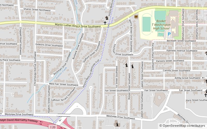
Mozley Park is a typical early 20th-century residential neighborhood, located approximately three miles west of downtown Atlanta. The community is named after the original landowner, Dr. Hiram Mozley, whose heirs inherited the land after his death in 1902. ()
Coordinates: 33°45'3"N, 84°25'35"W
Address
Intown South (Ashview Heights)Atlanta
ContactAdd
Social media
Add
Getting there by public transportation
Public transportation stops near this location
- Metro
- Bus
 Metro
Metro
- Calculate routeAshby 17 min walk
- Calculate routeWest Lake 28 min walk
- Calculate routeWest End 33 min walk
- Calculate routeWest End Station 33 min walk
Day trips


Frequently Asked Questions (FAQ)
Which popular attractions are close to Mozley Park?
Nearby attractions include Just Us, Atlanta (4 min walk), Ashview Heights, Atlanta (7 min walk), Omenala Griot Afrocentric Teaching Museum, Atlanta (10 min walk), Hunter Hills, Atlanta (14 min walk).
How to get to Mozley Park by public transport?
The nearest stations to Mozley Park:
Metro
Bus
Metro
- Ashby • Lines: Blue, Green (17 min walk)
- West Lake • Lines: Blue (28 min walk)
Bus
- West End Station • Lines: 832 (33 min walk)