City Hall Historic District, Lowell
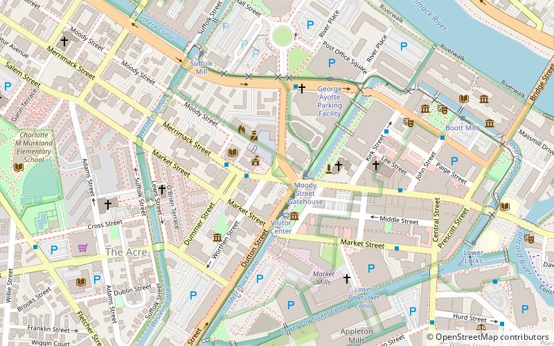
Map

Gallery

Facts and practical information
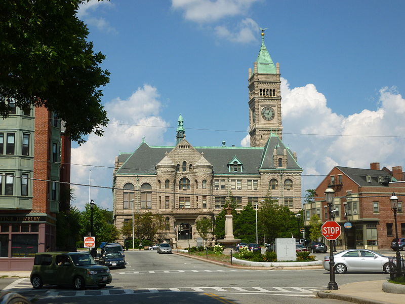
The City Hall Historic District is a historic district in Lowell, Massachusetts, bound roughly by Broadway, Colburn, and Kirk streets. The centerpiece of the district is the Richardsonian Romanesque City Hall, built in 1893 to a design by Merrill and Cutler, with its 180-foot clock tower. ()
Coordinates: 42°38'46"N, 71°18'48"W
Address
Lowell (The Acre)Lowell
ContactAdd
Social media
Add
Day trips
City Hall Historic District – popular in the area (distance from the attraction)
Nearby attractions include: Edward A. LeLacheur Park, New England Quilt Museum, Boott Mills, Tsongas Center at UMass Lowell.
Frequently Asked Questions (FAQ)
Which popular attractions are close to City Hall Historic District?
Nearby attractions include Arts League of Lowell - ALL, Lowell (2 min walk), National Streetcar Museum, Lowell (2 min walk), Pollard Memorial Library, Lowell (2 min walk), New England Quilt Museum, Lowell (3 min walk).
How to get to City Hall Historic District by public transport?
The nearest stations to City Hall Historic District:
Bus
Tram
Train
Bus
- Merrimack St and Dutton St • Lines: 6 (1 min walk)
- Lowell City Hall Merrimack St • Lines: 6, 7 (2 min walk)
Tram
- Moody Street Gatehouse • Lines: Lowell National Park Trolley (2 min walk)
- Visitor Center • Lines: Lowell National Park Trolley (2 min walk)
Train
- Lowell (17 min walk)


