Archer Heights, Chicago
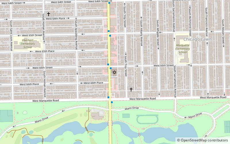
Map
Gallery
Facts and practical information
Archer Heights is a community area in Chicago, Illinois, one of the 77 official community areas of Chicago. ()
Area: 2.01 mi²Coordinates: 41°48'41"N, 87°43'34"W
Address
Southwest Side (Archer Heights)Chicago
ContactAdd
Social media
Add
Day trips
Archer Heights – popular in the area (distance from the attraction)
Nearby attractions include: Ford City Mall, National Museum of Mexican Art, Cornell Square Park, St. Mary of Częstochowa.
Frequently Asked Questions (FAQ)
How to get to Archer Heights by public transport?
The nearest stations to Archer Heights:
Bus
Metro
Bus
- Pulaski & 45th Street • Lines: 53A (4 min walk)
- 47th Street & Karlov • Lines: 47 (7 min walk)
Metro
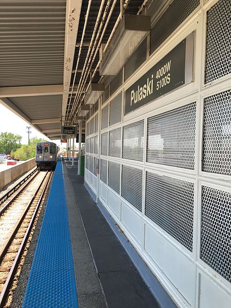
- Pulaski • Lines: Orange (21 min walk)
- Kedzie • Lines: Orange (32 min walk)



 Rail "L"
