Southside Historic District, Milwaukee

Gallery (4)
Map

Map
Gallery
Facts and practical information
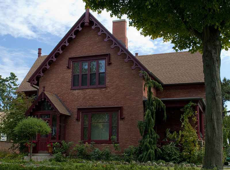
The Southside Historic District is a large, prestigious historic neighborhood in Racine, Wisconsin, including over 500 contributing structures in various architectural styles. It was added to the National Register of Historic Places in 1977. ()
Coordinates: 43°3'10"N, 87°53'59"W
Address
Lower East SideMilwaukee
ContactAdd
Social media
Add
Getting there by public transportation
Public transportation stops near this location
- Bus
- Tram
 Bus
Bus
- Calculate routeOgden at Astor 9 min walk
- Calculate routeBurns Commons 10 min walk
- Calculate routeOgden/Jackson 11 min walk
- Calculate routeJackson at Juneau 14 min walk
- Calculate routeFlixBus Milwaukee 33 min walk
Day trips


Frequently Asked Questions (FAQ)
Which popular attractions are close to Southside Historic District?
Nearby attractions include St. Hedwig's, Milwaukee (3 min walk), Green Gallery, Milwaukee (9 min walk), Shank Hall, Milwaukee (9 min walk), First Church of Christ, Milwaukee (10 min walk).
How to get to Southside Historic District by public transport?
The nearest stations to Southside Historic District:
Tram
Bus
Tram
- Ogden at Astor • Lines: M (9 min walk)
- Burns Commons • Lines: M (10 min walk)
Bus
- FlixBus Milwaukee • Lines: 2511 (33 min walk)