Monta Loma, Mountain View

Map
Facts and practical information
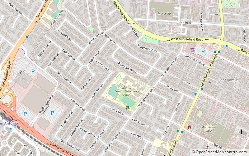
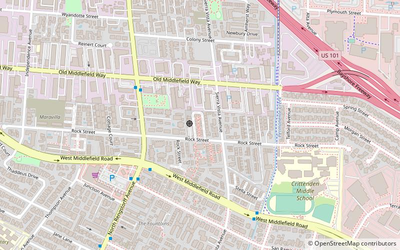
Monta Loma is a neighborhood in Mountain View, California in the San Francisco Bay Area. Located between the bounds of San Antonio Road, Middlefield Road, Rengstorff Avenue and Central Expressway. ()
Coordinates: 37°24'35"N, 122°5'57"W
Address
Mountain View (Monta Loma - Farley - Rock Street)Mountain View
ContactAdd
Social media
Add
Day trips
Monta Loma – popular in the area (distance from the attraction)
Nearby attractions include: Computer History Museum, San Antonio Shopping Center, Shoreline Amphitheatre, Saint Athanasius Parish.
Frequently Asked Questions (FAQ)
Which popular attractions are close to Monta Loma?
Nearby attractions include Saint Athanasius Parish, Mountain View (9 min walk), Kannon Do Zen Meditation Center, Mountain View (15 min walk), Cubberley Community Center, Palo Alto (18 min walk), Greenmeadow, Palo Alto (21 min walk).
How to get to Monta Loma by public transport?
The nearest stations to Monta Loma:
Bus
Train
Bus
- North Rengstorff Avenue & Jane Lane • Lines: 40 (7 min walk)
- North Rengstorff Avenue & Jewell Place • Lines: 40, Red (8 min walk)
Train
- San Antonio (12 min walk)


