Greenmeadow, Palo Alto
Map

Map

Facts and practical information
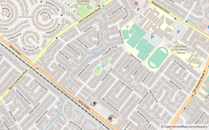
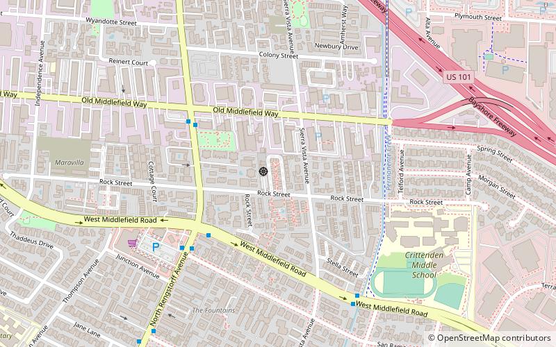
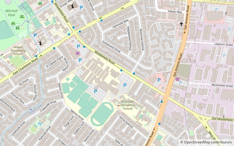
Greenmeadow is a subdivision located in southern Palo Alto, California. ()
Coordinates: 37°24'53"N, 122°6'45"W
Address
Palo Alto (Greenmeadow)Palo Alto
ContactAdd
Social media
Add
Day trips
Greenmeadow – popular in the area (distance from the attraction)
Nearby attractions include: San Antonio Shopping Center, Alta Mesa Memorial Park, Saint Athanasius Parish, Kannon Do Zen Meditation Center.
Frequently Asked Questions (FAQ)
Which popular attractions are close to Greenmeadow?
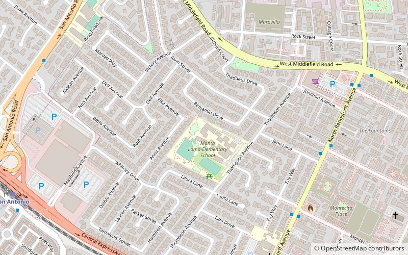
Nearby attractions include Cubberley Community Center, Palo Alto (10 min walk), Monta Loma, Mountain View (21 min walk).
How to get to Greenmeadow by public transport?
The nearest stations to Greenmeadow:
Bus
Train
Bus
- 455 East Charleston Road • Lines: 288, C (7 min walk)
- Carlson Court & Redwood Circle • Lines: C (8 min walk)
Train
- San Antonio (15 min walk)


