Park Naylor, Suitland
Map
Facts and practical information
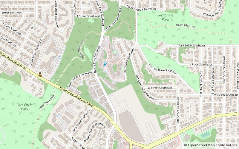
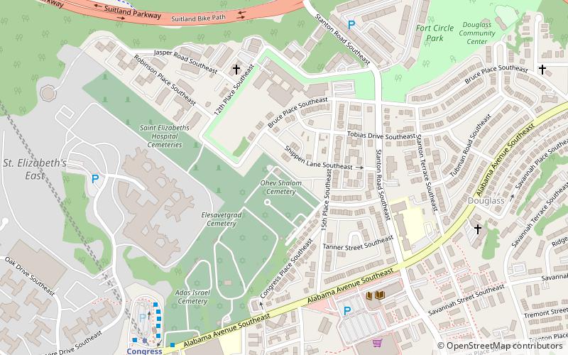
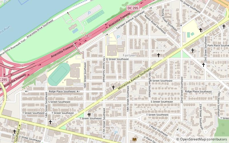
Park Naylor is a residential neighborhood located in southeast Washington, D.C. It takes its name from its northern and eastern borders, Naylor Road and Fort Stanton Park. Park Naylor's other boundaries are Minnesota Avenue to the west, and Good Hope Road SE to the south. Also see article on Anacostia. ()
Coordinates: 38°51'50"N, 76°58'8"W
Address
Southeast Washington (Hillcrest - Fairfax Village)Suitland
ContactAdd
Social media
Add
Getting there by public transportation
Public transportation stops near this location
- Metro
- Bus
 Metro
Metro
- Calculate routeNaylor Road 29 min walk
- Calculate routeNaylor Rd Station & Bus Bay B 29 min walk
- Calculate routeNaylor Rd Station & Bus Bay D 30 min walk
- Calculate routeNaylor Rd Station & Bus Bay E 30 min walk
- Calculate routeF 30 min walk
Day trips


Frequently Asked Questions (FAQ)
Which popular attractions are close to Park Naylor?
Nearby attractions include Good Hope, Suitland (6 min walk), Skyland, Suitland (8 min walk), Randle Highlands, Suitland (12 min walk), Anacostia Neighborhood Library, Washington D.C. (14 min walk).
How to get to Park Naylor by public transport?
The nearest stations to Park Naylor:
Metro
Bus
Metro
- Naylor Road • Lines: Gr (29 min walk)
Bus
- Naylor Rd Station & Bus Bay B • Lines: F14 (29 min walk)
- Naylor Rd Station & Bus Bay D • Lines: H11, H12, H13 (30 min walk)