Anacostia Park, Washington D.C.

Facts and practical information
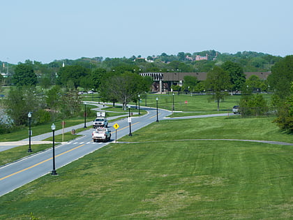
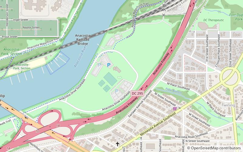
Anacostia Park is operated by the United States National Park Service. It is one of Washington, D.C.'s largest and most important recreation areas, with over 1200 acres at multiple sites. Included in Anacostia Park is Kenilworth Park and Aquatic Gardens and Kenilworth Marsh. Hundreds of acres are available for ballfields, picnicking, basketball, tennis, and the Anacostia Park Pavilion has some 3300 square feet of space for roller skating and special events. The Langston Golf Course offers an 18-hole course as well as a driving range, and three concession-operated marinas, four boat clubs, and a public boat ramp provide for access to the tidal Anacostia River for recreational boating. ()
Southeast WashingtonWashington D.C.
Anacostia Park – popular in the area (distance from the attraction)
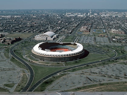
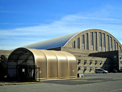
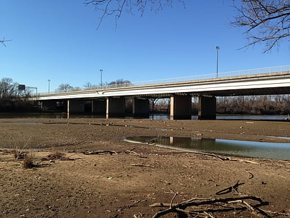
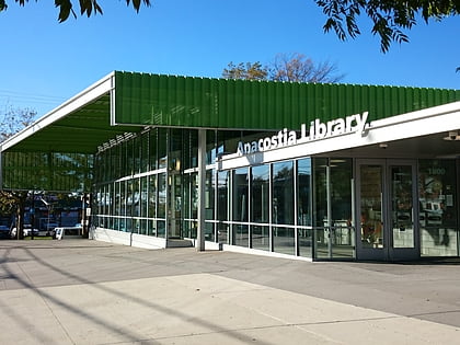
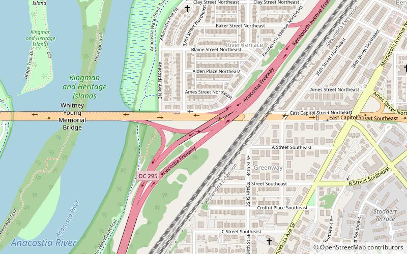
Nearby attractions include: RFK Stadium, D.C. Armory, Whitney Young Memorial Bridge, Anacostia Neighborhood Library.
Frequently Asked Questions (FAQ)
Which popular attractions are close to Anacostia Park?
How to get to Anacostia Park by public transport?
Metro
- Stadium–Armory • Lines: Bl, Or, Sv (19 min walk)
- Potomac Avenue • Lines: Bl, Or, Sv (23 min walk)
