Emory Highlands, Atlanta

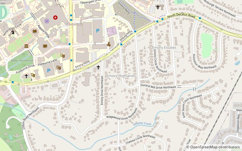
Map
Facts and practical information
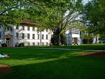
University Park–Emory Highlands–Emory Estates is a historic district listed on the National Register of Historic Places in the Druid Hills CDP adjacent to Emory University near Atlanta, Georgia. ()
Coordinates: 33°47'19"N, 84°19'3"W
Address
Druid HillsAtlanta
ContactAdd
Social media
Add
Day trips
Emory Highlands – popular in the area (distance from the attraction)
Nearby attractions include: David J. Sencer CDC Museum, Michael C. Carlos Museum, Druid Hills Golf Club, Fernbank Museum of Natural History.
Frequently Asked Questions (FAQ)
Which popular attractions are close to Emory Highlands?
Nearby attractions include Candler School of Theology, Atlanta (5 min walk), Donna and Marvin Schwartz Center for Performing Arts, Atlanta (7 min walk), Emory University Libraries, Atlanta (9 min walk), Emory Grove Historic District, Atlanta (10 min walk).
How to get to Emory Highlands by public transport?
The nearest stations to Emory Highlands:
Bus
Bus
- North Decatur - Burlington • Lines: 36, Cctma, South DeKalb (4 min walk)
- Clifton - Gambrell Hall • Lines: Cctma (6 min walk)


