DeKalb County Confederate Monument, Atlanta
Map

Map

Facts and practical information
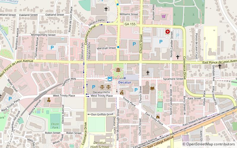
The DeKalb County Confederate Monument is a Confederate memorial that formerly stood in Decatur, Georgia, United States. The 30-foot stone obelisk was erected by the United Daughters of the Confederacy near the old county courthouse in 1908. ()
Coordinates: 33°46'30"N, 84°17'47"W
Address
Decator (Downtown Decatur)Atlanta
ContactAdd
Social media
Add
Day trips
DeKalb County Confederate Monument – popular in the area (distance from the attraction)
Nearby attractions include: Fernbank Science Center, Columbia Theological Seminary, Decatur, Decatur Cemetery.
Frequently Asked Questions (FAQ)
Which popular attractions are close to DeKalb County Confederate Monument?
Nearby attractions include HomeGrown Decatur, Atlanta (3 min walk), DeKalb County Public Library, Atlanta (5 min walk), Decatur, Atlanta (7 min walk), Ponce de Leon Court Historic District, Atlanta (9 min walk).
How to get to DeKalb County Confederate Monument by public transport?
The nearest stations to DeKalb County Confederate Monument:
Metro
Bus
Metro
- Decatur • Lines: Blue (1 min walk)
- Avondale • Lines: Blue, Green (21 min walk)
Bus
- Decatur • Lines: 123, 15, 19, Cctma (2 min walk)
- Two Decatur Town Center • Lines: Cctma (3 min walk)


