Navajo, San Diego
Map
Facts and practical information
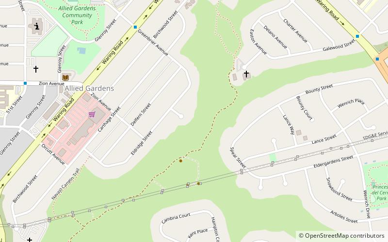
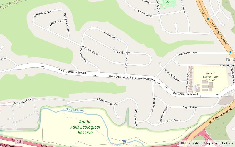
Navajo is a hilly community in San Diego, California near East County. It is a designated planning area for the city of San Diego. It includes the neighborhoods of Del Cerro, Grantville, San Carlos, and Allied Gardens. ()
Coordinates: 32°47'29"N, 117°4'33"W
Address
Eastern San Diego (Allied Gardens)San Diego
ContactAdd
Social media
Add
Getting there by public transportation
Public transportation stops near this location
- Light rail
 Light rail
- Calculate routeAlvarado Medical Center 38 min walk
Day trips


Frequently Asked Questions (FAQ)
Which popular attractions are close to Navajo?
Nearby attractions include Del Cerro, San Diego (15 min walk), Allied Gardens, San Diego (20 min walk), Adobe Falls, San Diego (22 min walk).
How to get to Navajo by public transport?
The nearest stations to Navajo:
Light rail
Light rail
- Alvarado Medical Center • Lines: 530 (38 min walk)