Del Cerro, San Diego
Map
Facts and practical information
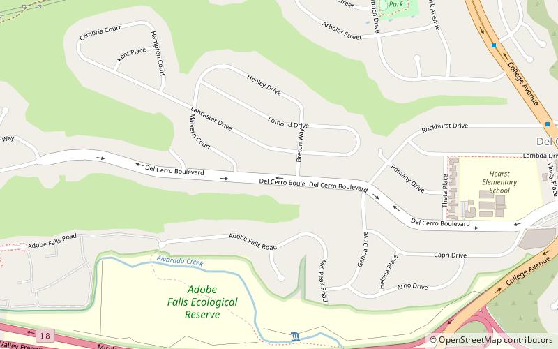
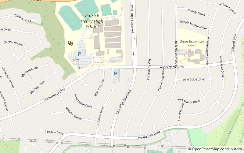
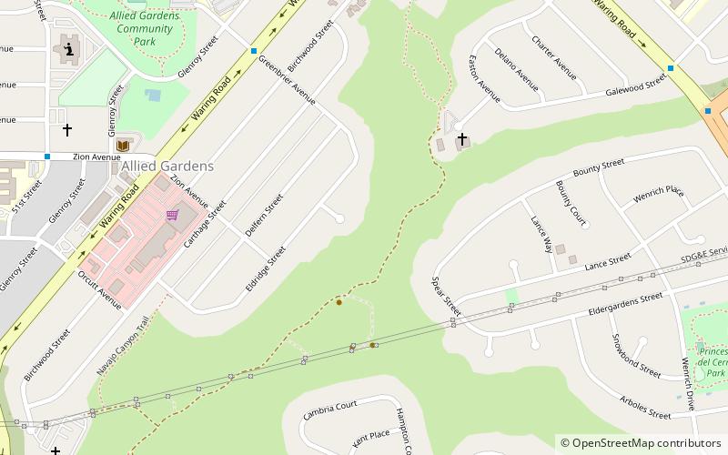
Del Cerro is a hilly residential neighborhood of approximately 2,300 residents in the eastern part of San Diego, California. Del Cerro borders the communities of San Carlos, Allied Gardens, College Area, Grantville, and the city of La Mesa, and is adjacent to Lake Murray and San Diego State University. For planning purposes the city includes it in the Navajo community planning area. ()
Coordinates: 32°47'3"N, 117°4'16"W
Address
Eastern San Diego (Del Cerro)San Diego
ContactAdd
Social media
Add
Getting there by public transportation
Public transportation stops near this location
- Light rail
 Light rail
- Calculate routeSdsu 21 min walk
- Calculate routeAlvarado Medical Center 25 min walk
Day trips


Frequently Asked Questions (FAQ)
Which popular attractions are close to Del Cerro?
Nearby attractions include Adobe Falls, San Diego (8 min walk), Hepner Hall, San Diego (14 min walk), Navajo, San Diego (15 min walk), Hardy Memorial Tower, San Diego (15 min walk).
How to get to Del Cerro by public transport?
The nearest stations to Del Cerro:
Light rail
Light rail
- Sdsu • Lines: 530 (21 min walk)
- Alvarado Medical Center • Lines: 530 (25 min walk)