Chaldean Town, Detroit
Map

Gallery

Facts and practical information
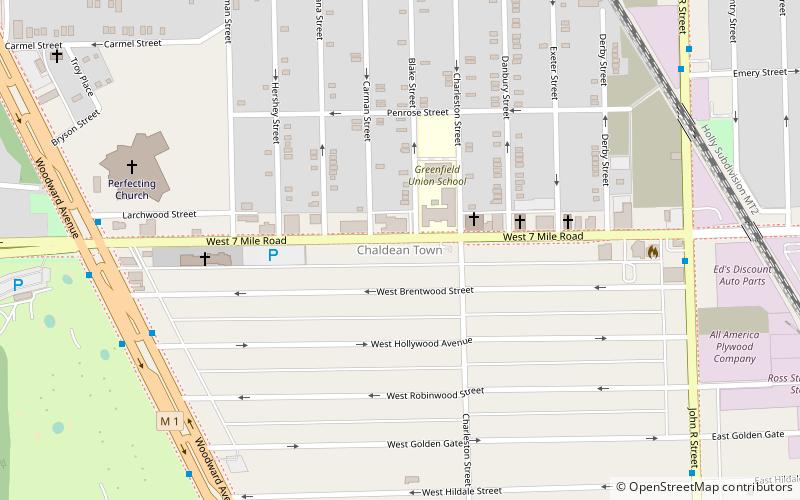
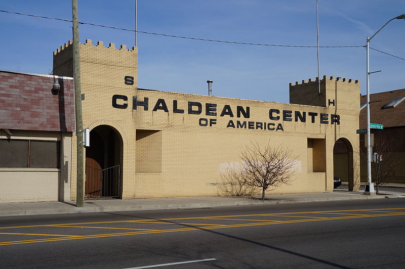
Chaldean Town was a historically Chaldo-Assyrian neighborhood in Detroit located along West Seven Mile Road in a segment in between Woodward Avenue to the west and John R St. to the east. Circa 2007 the population of the district was mainly low income elderly people and recent immigrants, who were mostly made up of Chaldean Catholic Assyrians. The neighborhood was usually just a stop point for newly arrived immigrants, who then typically preferred to move to the suburbs of Detroit when they could afford to. ()
Coordinates: 42°25'55"N, 83°6'31"W
Address
Grixdale FarmsDetroit
ContactAdd
Social media
Add
Day trips
Chaldean Town – popular in the area (distance from the attraction)
Nearby attractions include: Gateway Marketplace, Woodlawn Cemetery, Palmer Park, First United Methodist Church.
Frequently Asked Questions (FAQ)
Which popular attractions are close to Chaldean Town?
Nearby attractions include Palmer Park, Detroit (16 min walk), Palmer Woods, Detroit (22 min walk), Palmer Park Apartment Building Historic District, Detroit (22 min walk).
How to get to Chaldean Town by public transport?
The nearest stations to Chaldean Town:
Bus
Bus
- Woodward / Hollywood • Lines: 04 (8 min walk)
- John R / 7 Mile • Lines: 23 (8 min walk)


