Palmer Woods, Detroit
Map

Gallery

Facts and practical information
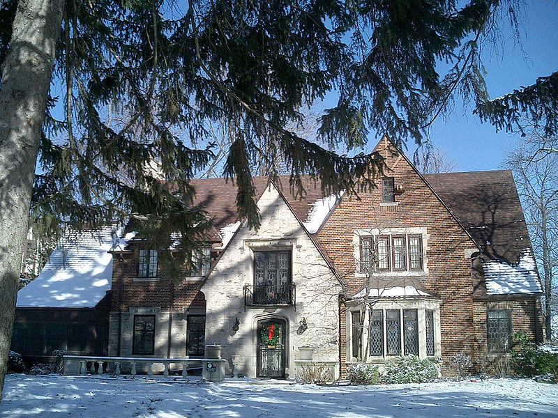
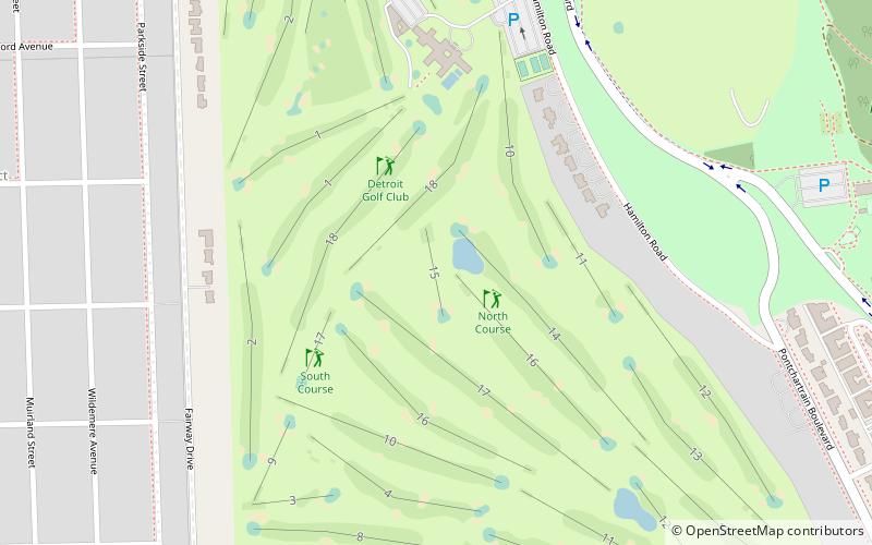
The Palmer Woods Historic District is a residential historic district bounded by Seven Mile Road, Woodward Avenue, and Strathcona Drive in Detroit, Michigan. There are approximately 295 homes in the 188-acre district, which is between the City of Highland Park in Wayne County and the City of Ferndale in Oakland County. It was listed on the National Register of Historic Places in 1983. The Detroit Golf Club is nearby. ()
Coordinates: 42°26'6"N, 83°7'29"W
Address
Palmer WoodsDetroit
ContactAdd
Social media
Add
Day trips
Palmer Woods – popular in the area (distance from the attraction)
Nearby attractions include: Gateway Marketplace, Woodlawn Cemetery, Palmer Park, Detroit Golf Club.
Frequently Asked Questions (FAQ)
Which popular attractions are close to Palmer Woods?
Nearby attractions include Woodlawn Cemetery, Detroit (13 min walk), Palmer Park, Detroit (18 min walk), Chaldean Town, Detroit (22 min walk).
How to get to Palmer Woods by public transport?
The nearest stations to Palmer Woods:
Bus
Bus
- Woodward / Strathcona • Lines: 04 (9 min walk)


