Atkins Park, Atlanta
Map

Map

Facts and practical information
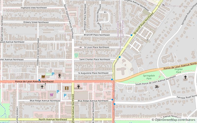
Atkins Park is an intown neighborhood of Atlanta, Georgia, nestled against the southeast corner of the neighborhood of Virginia-Highland, west of Briarcliff Avenue and north of Ponce de Leon Avenue. It consists of just three streets - St. Louis Place, St. Charles Place, and St. Augustine Place - as well as an internal sidewalk known as Malcolm's Way that bisects them from St. Charles to St. Louis. It was originally designed to give quicker access to the streetcar stop at Ponce. ()
Coordinates: 33°46'31"N, 84°21'1"W
Address
Atkins ParkAtlanta
ContactAdd
Social media
Add
Day trips
Atkins Park – popular in the area (distance from the attraction)
Nearby attractions include: Clermont Lounge, Virginia–Highland, Jimmy Carter Library and Museum, Variety Playhouse.
Frequently Asked Questions (FAQ)
Which popular attractions are close to Atkins Park?
Nearby attractions include New Highland Park, Atlanta (3 min walk), Druid Hills Baptist Church, Atlanta (5 min walk), Poncey–Highland, Atlanta (7 min walk), Druid Hills Presbyterian Church, Atlanta (8 min walk).
How to get to Atkins Park by public transport?
The nearest stations to Atkins Park:
Metro
Metro
- Edgewood/Candler Park • Lines: Blue, Green (29 min walk)


