Timeline of the BeltLine, Atlanta

Gallery (1)
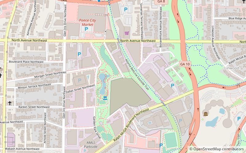
Map
Map
Facts and practical information
Coordinates: 33°46'9"N, 84°21'49"W
Address
Northeast Atlanta (Old Fourth Ward)Atlanta
ContactAdd
Social media
Add
Getting there by public transportation
Public transportation stops near this location
- Metro
- Tram
 Metro
Metro
- Calculate routeInman Park/Reynoldstown 26 min walk
- Calculate routeKing Historic District 29 min walk
- Calculate routeEdgewood at Hillard 32 min walk
- Calculate routeDobbs Plaza 33 min walk
- Calculate routeSweet Auburn Market 36 min walk
Day trips


Frequently Asked Questions (FAQ)
Which popular attractions are close to Timeline of the BeltLine?
Nearby attractions include Historic Fourth Ward Park, Atlanta (3 min walk), Ponce City Market, Atlanta (7 min walk), Iron Column, Atlanta (8 min walk), WSB-TV tower, Atlanta (9 min walk).
How to get to Timeline of the BeltLine by public transport?
The nearest stations to Timeline of the BeltLine:
Metro
Tram
Metro
- Inman Park/Reynoldstown • Lines: Blue, Green (26 min walk)
Tram
- King Historic District • Lines: Atlanta Streetcar (29 min walk)
- Edgewood at Hillard • Lines: Atlanta Streetcar (32 min walk)