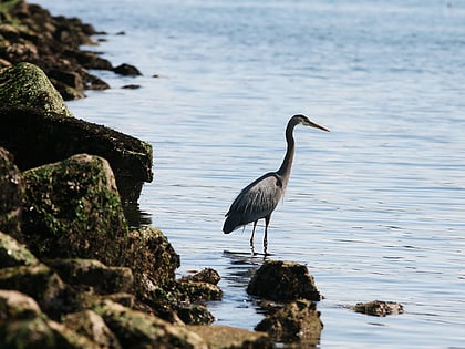
Elliott Bay, Seattle
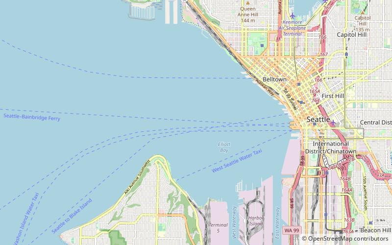
Map
Gallery
Facts and practical information
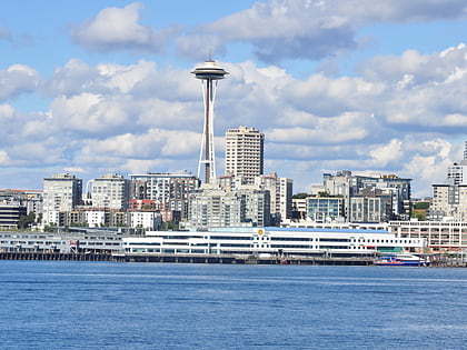
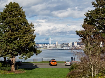
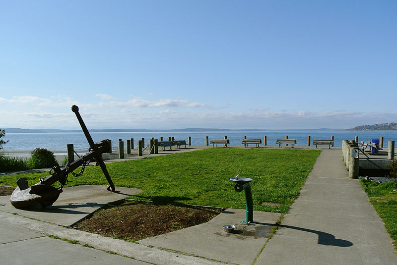
Elliott Bay is a part of the Central Basin region of Puget Sound. It is in the U.S. state of Washington, extending southeastward between West Point in the north and Alki Point in the south. Seattle was founded on this body of water in the 1850s and has since grown to encompass it completely. The waterway it provides to the Pacific Ocean has served as a key element of the city's economy, enabling the Port of Seattle to become one of the busiest ports in the United States. ()
Address
Seattle
ContactAdd
Social media
Add
Day trips
Elliott Bay – popular in the area (distance from the attraction)
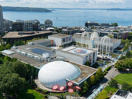
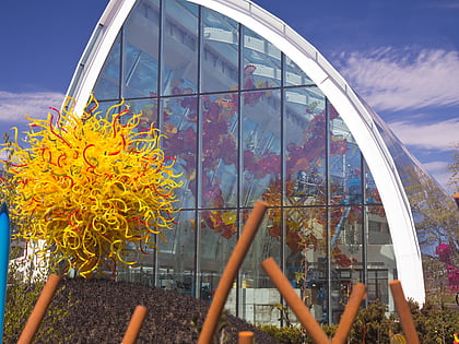
Nearby attractions include: Space Needle, Pacific Science Center, Olympic Sculpture Park, Chihuly Garden and Glass.
Frequently Asked Questions (FAQ)
Which popular attractions are close to Elliott Bay?
Nearby attractions include The Luna Lounge at Duwamish Head, Seattle (22 min walk), Hamilton Viewpoint Park, Seattle (24 min walk).
How to get to Elliott Bay by public transport?
The nearest stations to Elliott Bay:
Bus
Ferry
Bus
- Alki Ave SW & Harbor Ave SW • Lines: 37 (21 min walk)
- Harbor Ave SW & 1400 Block • Lines: 37 (24 min walk)
Ferry
- King County Water Taxi Seacrest Dock • Lines: West Seattle-Seattle (26 min walk)
- Seattle • Lines: Seattle-Victoria (30 min walk)

