Mount Pleasant Lutheran Church, Racine

Map
Facts and practical information
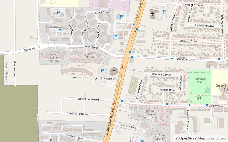
Mount Pleasant Lutheran Church, also known as Mount Pleasant Church, is an architecturally and historically significant church in Racine, Wisconsin. It was designed by Fort Atkinson, Wisconsin-based architect Helmut Ajango with Gene LaMuro. Nicknamed the Spaceship Church, it is located at 1700 South Green Bay Road and was built in 1975. It is a congregation of the Evangelical Lutheran Church in America. ()
Coordinates: 42°42'41"N, 87°50'59"W
Address
1700 State Highway 31Racine
ContactAdd
Social media
Add
Day trips
Mount Pleasant Lutheran Church – popular in the area (distance from the attraction)
Nearby attractions include: Regency Mall, Golden Rondelle, First Presbyterian Church, Hawthorn Hollow.
Frequently Asked Questions (FAQ)
How to get to Mount Pleasant Lutheran Church by public transport?
The nearest stations to Mount Pleasant Lutheran Church:
Bus
Bus
- 16th Street And Sth 31 • Lines: 3 (3 min walk)
- Sth 31 And 16th Street • Lines: 3, 86 (3 min walk)


