Harrods Hill, Lexington
Map
Facts and practical information
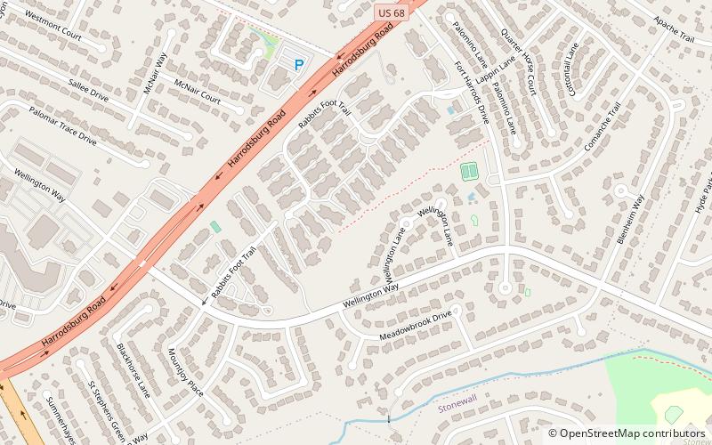
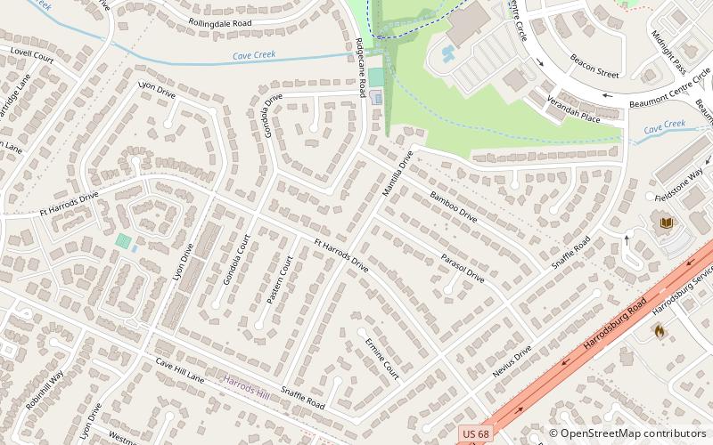
Harrods Hill is a neighborhood in southwestern Lexington, Kentucky, United States. Its boundaries are Harrodsburg Road to the east, Man o' War Boulevard to the south, and the Beaumont Centre neighborhood to the north and west. The boundary is based on when development occurred, as Harrods Hill is the older section. The smaller Harrodsview neighborhood is typically included in Harrods Hill for statistical purposes. ()
Area: 188.8 acres (0.295 mi²)Coordinates: 38°0'47"N, 84°33'54"W
Address
Harrods HillLexington
ContactAdd
Social media
Add
Day trips
Harrods Hill – popular in the area (distance from the attraction)
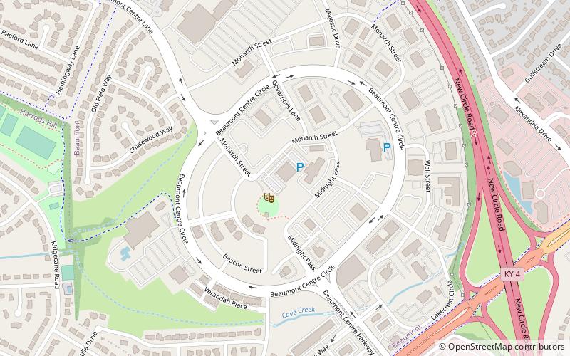
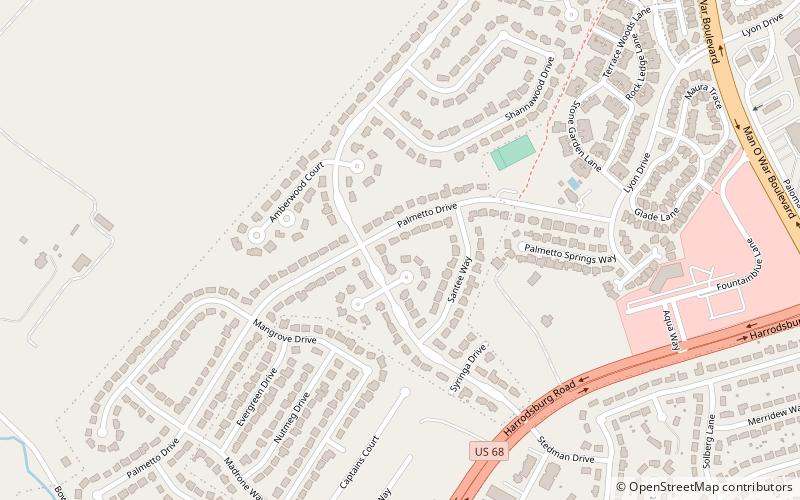
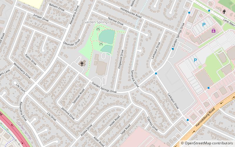
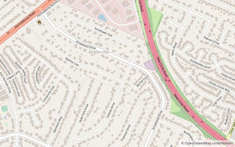
Nearby attractions include: MoonDance Amphitheater, Beaumont Centre, Palomar Hills, Garden Springs.
Frequently Asked Questions (FAQ)
Which popular attractions are close to Harrods Hill?
Nearby attractions include MoonDance Amphitheater, Lexington (13 min walk), Beaumont Centre, Lexington (14 min walk), Rabbit Run, Lexington (15 min walk), Indian Hills, Lexington (21 min walk).

