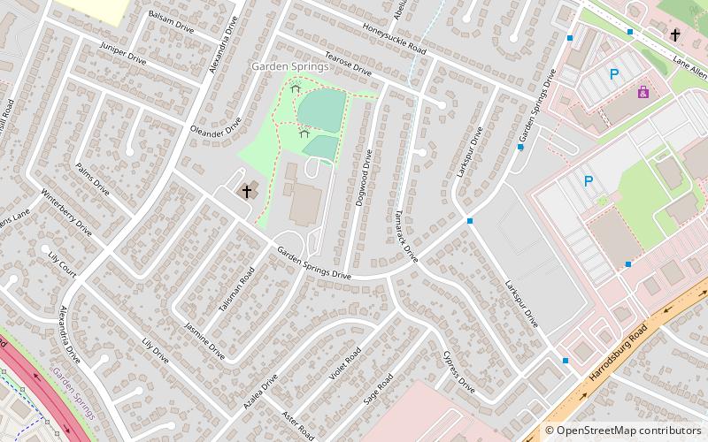
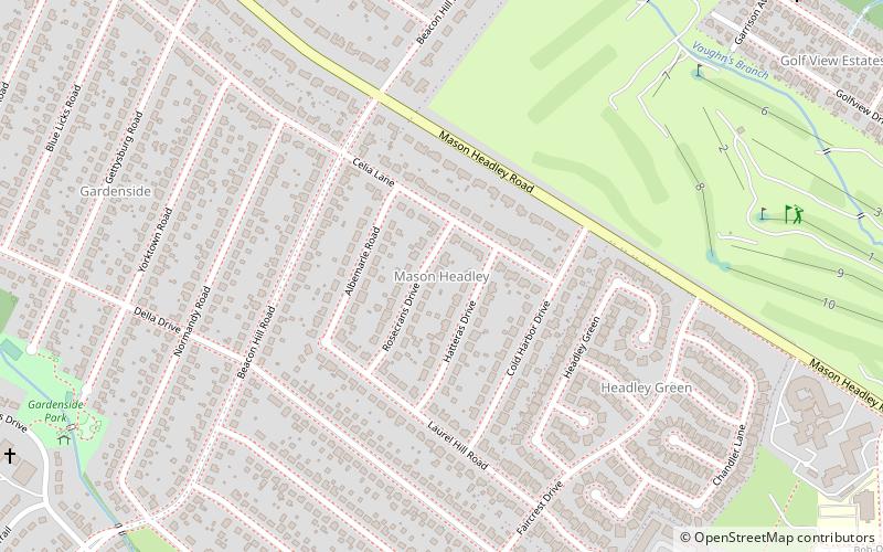
Garden Springs, Lexington
Map
Facts and practical information
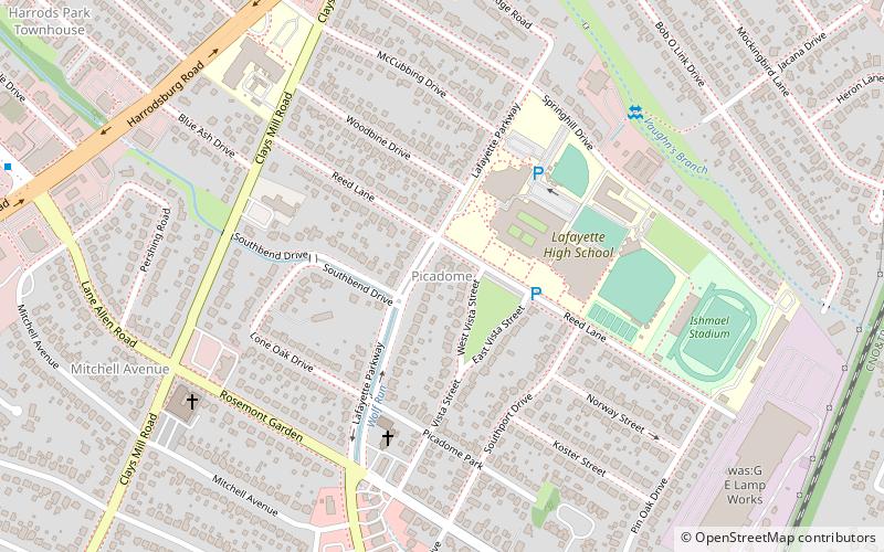
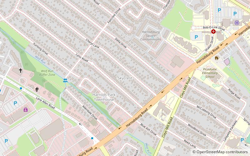
Garden Springs is a neighborhood in Southwestern Lexington, Kentucky, United States. Its boundaries are Georgian Way to the west, Lane Allen Road to the north, Harrodsburg Road to the east, and New Circle Road to the south. Turfland Mall and the Lexington campus of Sullivan University are located in the neighborhood. ()
Coordinates: 38°1'34"N, 84°32'49"W
Address
Garden SpringsLexington
ContactAdd
Social media
Add
Getting there by public transportation
Public transportation stops near this location
- Bus
 Bus
Bus
- Calculate route226 - Southland @ 450 Inbound 30 min walk
Day trips


Frequently Asked Questions (FAQ)
Which popular attractions are close to Garden Springs?
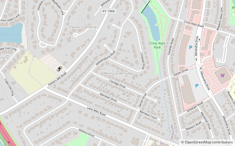
Nearby attractions include Gardenside, Lexington (13 min walk), Skycrest, Lexington (21 min walk), Beaumont Centre, Lexington (21 min walk), MoonDance Amphitheater, Lexington (22 min walk).
How to get to Garden Springs by public transport?
The nearest stations to Garden Springs:
Bus
Bus
- 226 - Southland @ 450 Inbound • Lines: 16 Southland Dr (30 min walk)