Massachusetts Avenue, Boston
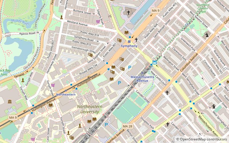
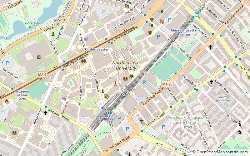
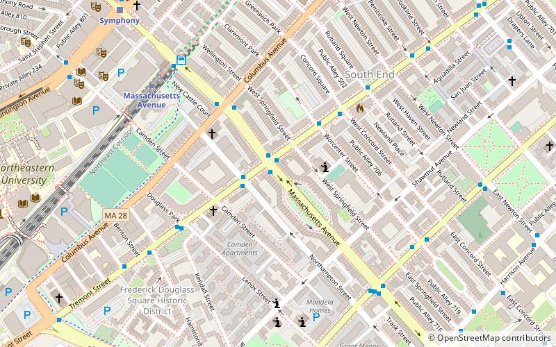
Map
Gallery
Facts and practical information
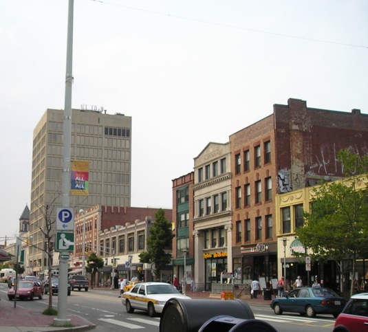
Massachusetts Avenue is a major thoroughfare in Boston, Massachusetts, and several cities and towns northwest of Boston. According to Boston magazine, "Its 16 miles of blacktop run from gritty industrial zones to verdant suburbia, passing gentrified brownstones, college campuses and bustling commercial strips." ()
Address
South EndBoston
ContactAdd
Social media
Add
Day trips
Massachusetts Avenue – popular in the area (distance from the attraction)
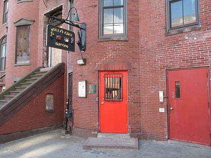
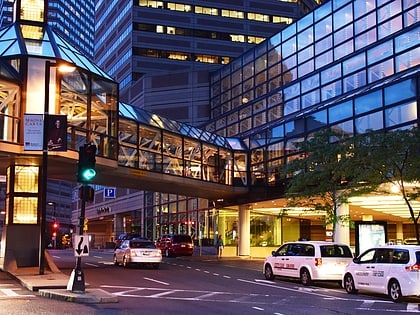
Nearby attractions include: Wally's Cafe, Copley Place, Matthews Arena, The First Church of Christ.
Frequently Asked Questions (FAQ)
Which popular attractions are close to Massachusetts Avenue?
Nearby attractions include Chester Square, Boston (2 min walk), Tremont Street Methodist Episcopal Church, Boston (6 min walk), Matthews Arena, Boston (7 min walk), Frederick Douglass Square Historic District, Boston (8 min walk).
How to get to Massachusetts Avenue by public transport?
The nearest stations to Massachusetts Avenue:
Bus
Metro
Light rail
Train
Bus
- Massachusetts Ave @ Tremont St • Lines: 1 (1 min walk)
- Massachusetts Ave & Massachusetts Ave Station (7 min walk)
Metro
- Massachusetts Avenue • Lines: Orange (7 min walk)
- Ruggles • Lines: Orange (14 min walk)
Light rail
- Symphony • Lines: E (10 min walk)
- Prudential • Lines: E (12 min walk)
Train
- Ruggles (13 min walk)
- Boston Back Bay (17 min walk)

 MBTA Subway