Snell Library, Boston
Facts and practical information
Northeastern University is a private research university with its main campus in Boston. Established in 1898, the university offers undergraduate and graduate programs on its main campus in Boston as well as satellite campuses in Charlotte, North Carolina; Seattle, Washington; San Jose, California; Oakland, California; Portland, Maine; and Toronto and Vancouver in Canada. In 2019, Northeastern purchased the New College of the Humanities in London, England. The university's enrollment is approximately 19,000 undergraduate students and 8,600 graduate students. It is classified among "R1: Doctoral Universities – Very high research activity". Northeastern faculty and alumni include Nobel Prize laureates, Rhodes, Truman, and Marshall scholars. Undergraduate admission to the university is categorized as "most selective." ()
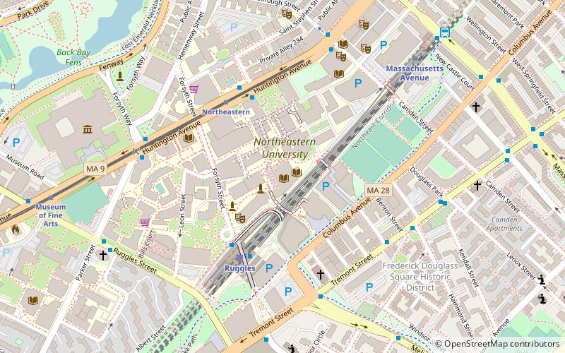
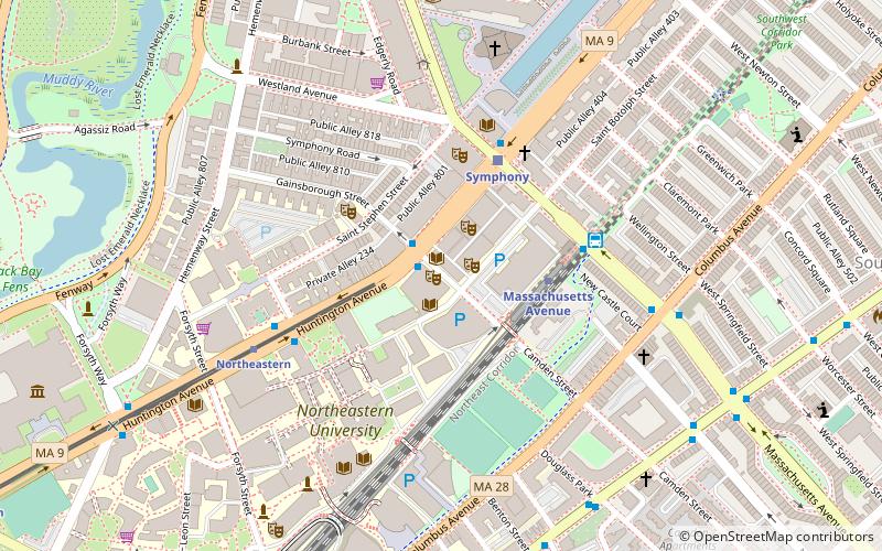
360 Huntington AvenueFenway - Kenmore - Audubon Circle - LongwoodBoston
- Metro
- Bus
- Light rail
- Train
 Metro
Metro
- Calculate routeRuggles Sta - Upper Level 4 min walk
- Calculate routeRuggles St @ Annunciation Rd 8 min walk
- Calculate routeMassachusetts Ave Sta - Inbound 9 min walk
- Calculate routeRuggles 4 min walk
- Calculate routeLansdowne 23 min walk
- Calculate routeBoston Back Bay 24 min walk
- Calculate routeNewmarket 35 min walk
- Calculate routeNortheastern 4 min walk
- Calculate routeSymphony 9 min walk
- Calculate routeMuseum of Fine Arts 10 min walk
- Calculate routePrudential 16 min walk
- Calculate routeRuggles 4 min walk
- Calculate routeMassachusetts Avenue 7 min walk
- Calculate routeRoxbury Crossing 17 min walk
- Calculate routeBack Bay 24 min walk
 MBTA Subway
Snell Library – popular in the area (distance from the attraction)
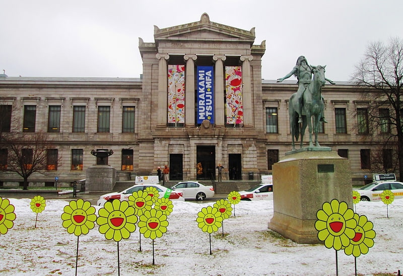
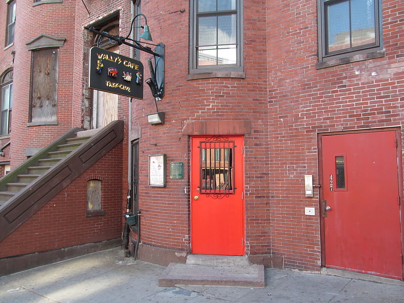
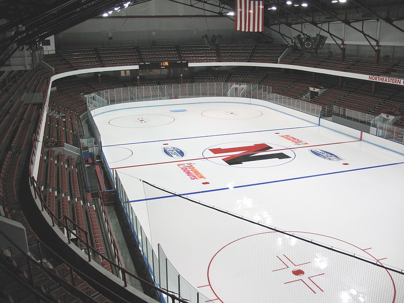
Nearby attractions include: Museum of Fine Arts, Wally's Cafe, Matthews Arena, The First Church of Christ.


Frequently Asked Questions (FAQ)
Which popular attractions are close to Snell Library?
How to get to Snell Library by public transport?
Bus
- Ruggles Sta - Upper Level • Lines: 23 (4 min walk)
- Ruggles St @ Annunciation Rd • Lines: 8 (8 min walk)
Train
- Ruggles (4 min walk)
- Lansdowne (23 min walk)
Light rail
- Northeastern • Lines: E (4 min walk)
- Symphony • Lines: E (9 min walk)
Metro
- Ruggles • Lines: Orange (4 min walk)
- Massachusetts Avenue • Lines: Orange (7 min walk)