The Heights, Jersey City
Map
Gallery

Facts and practical information
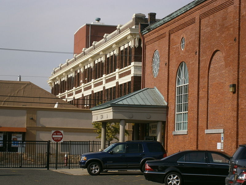
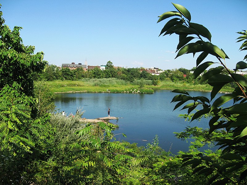
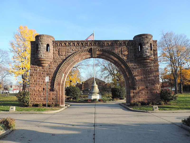
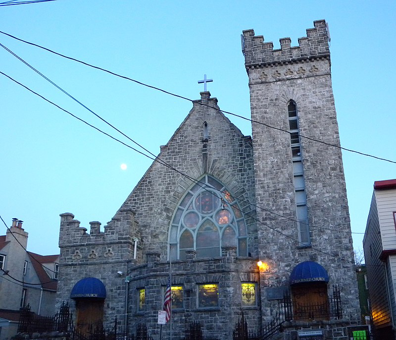
The Heights or Jersey City Heights is a district in the north end of Jersey City, New Jersey, atop the New Jersey Palisades overlooking Hoboken to the east and Croxton in the Meadowlands to the west. ()
Coordinates: 40°44'51"N, 74°3'2"W
Address
The HeightsJersey City
ContactAdd
Social media
Add
Day trips
The Heights – popular in the area (distance from the attraction)
Nearby attractions include: Stanley Theater, Loew's Jersey Theatre, Mana Contemporary, Journal Square.
Frequently Asked Questions (FAQ)
Which popular attractions are close to The Heights?
Nearby attractions include Pershing Field, Jersey City (10 min walk), Western Slope, Jersey City (13 min walk), Jersey City Reservoir No. 3, Jersey City (15 min walk), Bergenline Avenue, Jersey City (17 min walk).
How to get to The Heights by public transport?
The nearest stations to The Heights:
Bus
Light rail
Metro
Bus
- JFK Boulevard at Lincoln Street • Lines: 125 (7 min walk)
Light rail
- 2nd Street • Lines: Hblr (15 min walk)
- 9th Street–Congress Street • Lines: Hblr (17 min walk)
Metro
- Journal Square Transportation Center • Lines: Jsq–33, JSQ–33 via HOB, Nwk–Wtc (32 min walk)
- Hoboken • Lines: Hob–33, Hob–Wtc, JSQ–33 via HOB (37 min walk)


