Haarig Commercial Historic District, Cape Girardeau
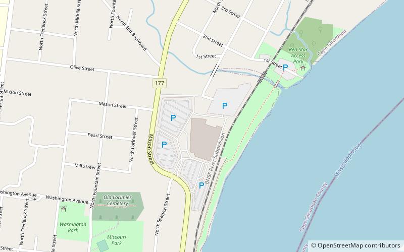
Map
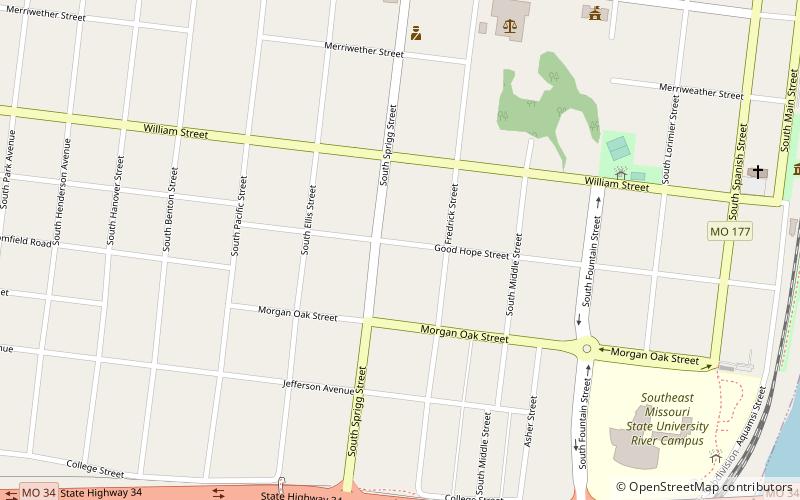
Map

Facts and practical information
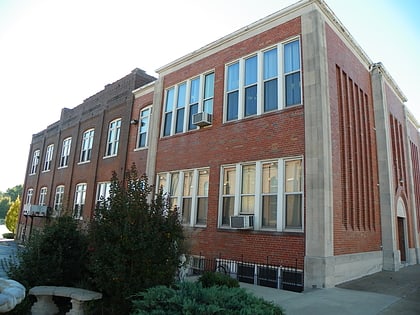
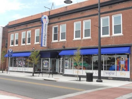
Haarig Commercial Historic District is a national historic district located at Cape Girardeau, Missouri. In 2000, the area listed was 1.1 acres and included 13 contributing buildings. It developed between about 1875 and 1950, and includes representative examples of Italianate and Tudor Revival architecture. They are predominantly two- and three-story brick commercial buildings. ()
Coordinates: 37°17'58"N, 89°31'38"W
Address
Cape Girardeau
ContactAdd
Social media
Add
Day trips
Haarig Commercial Historic District – popular in the area (distance from the attraction)
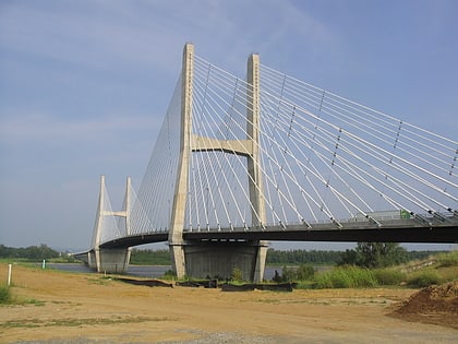
Nearby attractions include: St. Vincent De Paul Catholic Church, Cathedral of St. Mary of the Annunciation, Bill Emerson Memorial Bridge, The Crisp Museum.
Frequently Asked Questions (FAQ)
Which popular attractions are close to Haarig Commercial Historic District?
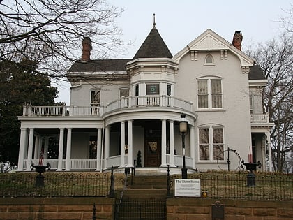
Nearby attractions include Cathedral of St. Mary of the Annunciation, Cape Girardeau (3 min walk), South Middle Street Historic District, Cape Girardeau (4 min walk), The Crisp Museum, Cape Girardeau (9 min walk), George Boardman Clark House, Cape Girardeau (10 min walk).


