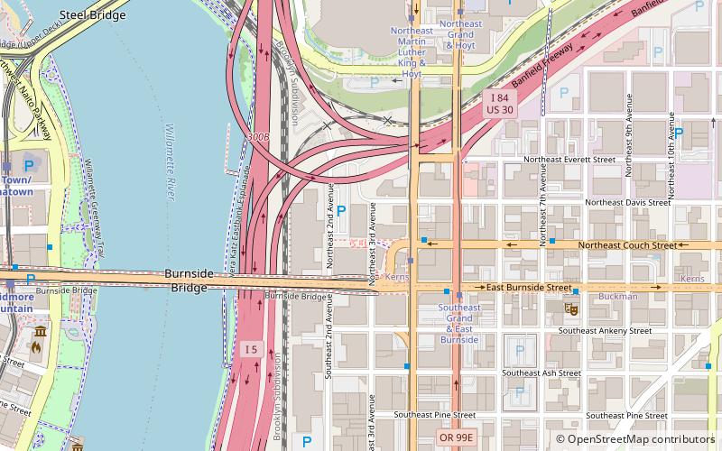
Ira F. Powers Warehouse and Factory, Portland
Map

Map

Facts and practical information
The Ira F. Powers Warehouse and Factory is a historic industrial building in Portland, Oregon, United States. Built in 1925, it is one of the last remnants of two important phases in Portland's economic history: the city's once-prominent furniture manufacturing and distribution industry, and worker housing for the war industries of the World War II era. ()
Architectural style: Chicago schoolCoordinates: 45°31'26"N, 122°39'47"W
Address
Southeast Uplift (Kerns)Portland
ContactAdd
Social media
Add
Day trips
Ira F. Powers Warehouse and Factory – popular in the area (distance from the attraction)
Nearby attractions include: Dante's, CC Slaughters, Japanese American Historical Plaza, Moda Center.
Frequently Asked Questions (FAQ)
Which popular attractions are close to Ira F. Powers Warehouse and Factory?
Nearby attractions include Yard, Portland (2 min walk), Stark's Vacuum Museum, Portland (3 min walk), Kevin Duckworth Memorial Dock, Portland (4 min walk), Burnside Bridge, Portland (5 min walk).
How to get to Ira F. Powers Warehouse and Factory by public transport?
The nearest stations to Ira F. Powers Warehouse and Factory:
Tram
Bus
Light rail
Train
Tram
- Northeast Martin Luther King & East Burnside • Lines: A (2 min walk)
- Southeast Grand & East Burnside • Lines: B (4 min walk)
Bus
- Northeast Couch & Martin Luther King • Lines: 12, 19, 20 (2 min walk)
- East Burnside & Northeast Grand • Lines: 19, 20 (4 min walk)
Light rail
- Skidmore Fountain • Lines: Blue, Red (11 min walk)
- Old Town/Chinatown • Lines: Blue, Red (11 min walk)
Train
- Portland Union Station (20 min walk)


