Stillwater Commercial Historic District, Stillwater
Map
Map

Facts and practical information
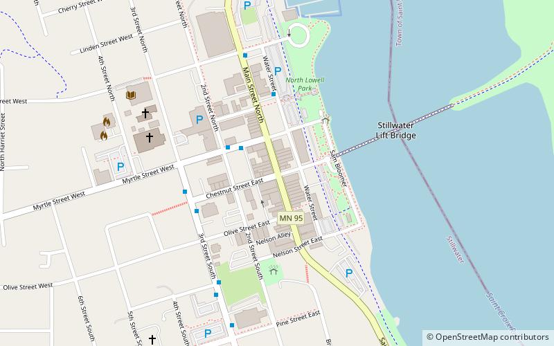
The Stillwater Commercial Historic District encompasses 11 downtown blocks in Stillwater, Minnesota, United States. It comprises 63 contributing properties built from the 1860s to 1940. It was listed as a historic district on the National Register of Historic Places in 1992 for its local significance in the themes of architecture and commerce. It was nominated for reflecting the economic and architectural diversity of a prosperous lumbering and manufacturing center. ()
Coordinates: 45°3'21"N, 92°48'21"W
Address
Stillwater
ContactAdd
Social media
Add
Day trips
Stillwater Commercial Historic District – popular in the area (distance from the attraction)
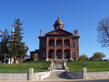
Nearby attractions include: Staples Mill Antiques, Stillwater Lift Bridge, Washington County Historic Courthouse, Warden's House Museum.
Frequently Asked Questions (FAQ)
Which popular attractions are close to Stillwater Commercial Historic District?
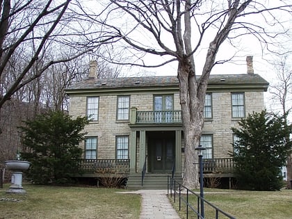
Nearby attractions include Stillwater Lift Bridge, Stillwater (5 min walk), Mortimer Webster House, Stillwater (6 min walk), Stillwater Public Library, Stillwater (7 min walk), Washington County Historic Courthouse, Stillwater (9 min walk).
How to get to Stillwater Commercial Historic District by public transport?
The nearest stations to Stillwater Commercial Historic District:
Bus
Bus
- Myrtle Street & Union Alley • Lines: 294 (2 min walk)
- Water Street & Commercial Street • Lines: 294 (4 min walk)


