Houston tunnel system, Houston
Map
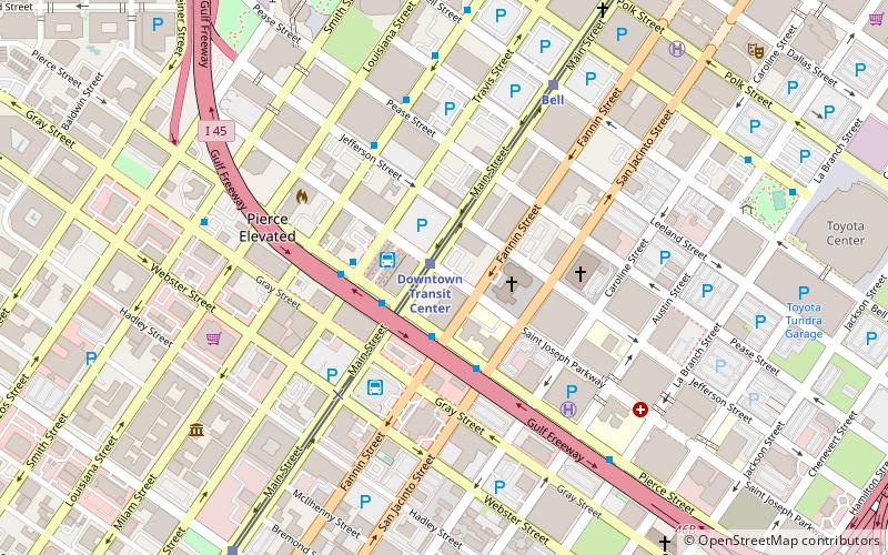
Map

Facts and practical information
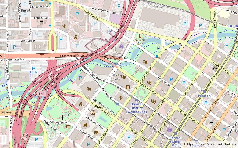
The Houston tunnel system is a network of subterranean, climate-controlled, pedestrian walkways that links 95 full city blocks 20 feet below Houston's downtown streets. It is approximately six miles long. There are similar systems in Chicago, Dallas, Oklahoma City, Montreal, and Toronto. Architectural historian Stephen Fox has stated that the idea for the tunnel system came when the Bank of the Southwest Building was "linked by tunnel to the 1010 Garage and the Mellie Esperson Building" in 1961. ()
Coordinates: 29°45'0"N, 95°22'12"W
Address
Inner Loop (Downtown Houston)Houston
ContactAdd
Social media
Add
Day trips
Houston tunnel system – popular in the area (distance from the attraction)
Nearby attractions include: Warehouse Live, Flying Saucer Draught Emporium, Minute Maid Park, PNC Stadium.
Frequently Asked Questions (FAQ)
Which popular attractions are close to Houston tunnel system?
Nearby attractions include Co-Cathedral of the Sacred Heart, Houston (2 min walk), Houston House Apartments, Houston (5 min walk), Cullen Center, Houston (7 min walk), Houston Fire Station No. 7, Houston (9 min walk).
How to get to Houston tunnel system by public transport?
The nearest stations to Houston tunnel system:
Light rail
Bus
Light rail
- Downtown Transit Center • Lines: Red (1 min walk)
- Bell • Lines: Red (7 min walk)
Bus
- Downtown Transit Center (2 min walk)
- Greyhound Bus Lines (4 min walk)


