Calumet Trail, Indiana Dunes National Lakeshore
Map

Map

Facts and practical information
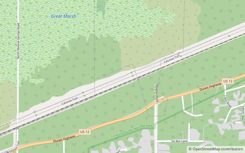
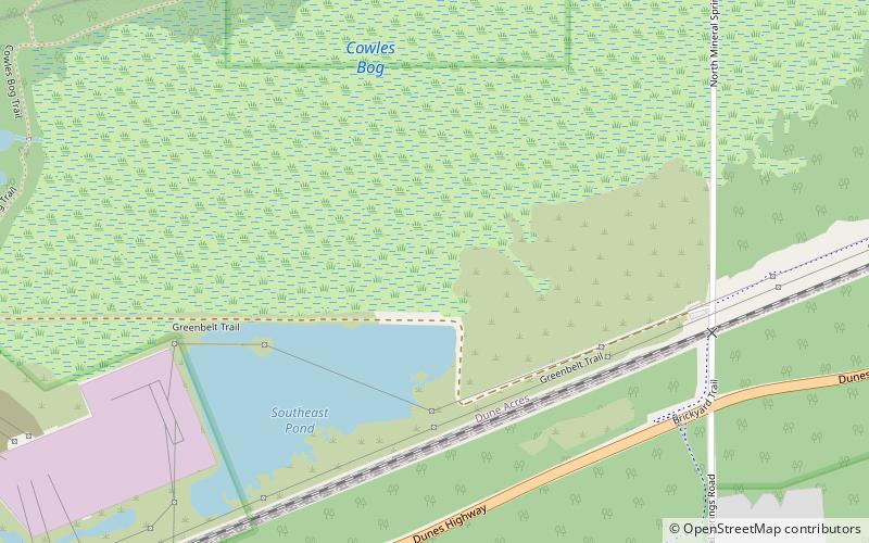
The Calumet Trail is an east-west bicycle and multiuse recreational trail in the Calumet region of northwestern Indiana, United States. It runs roughly parallel to U.S. Route 12 and the right-of-way of the South Shore line, along the NIPSCO easement. ()
Coordinates: 41°38'21"N, 87°4'46"W
Address
Indiana Dunes National Lakeshore
ContactAdd
Social media
Add
Day trips
Calumet Trail – popular in the area (distance from the attraction)
Nearby attractions include: Seven Peaks Water Park Duneland, Joseph Bailly Homestead, Cowles Bog, Bailly Cemetery.
Frequently Asked Questions (FAQ)
Which popular attractions are close to Calumet Trail?
Nearby attractions include Cowles Bog, Porter (18 min walk), Bailly Cemetery, Indiana Dunes National Lakeshore (20 min walk).
How to get to Calumet Trail by public transport?
The nearest stations to Calumet Trail:
Train
Train
- Dune Park (27 min walk)


