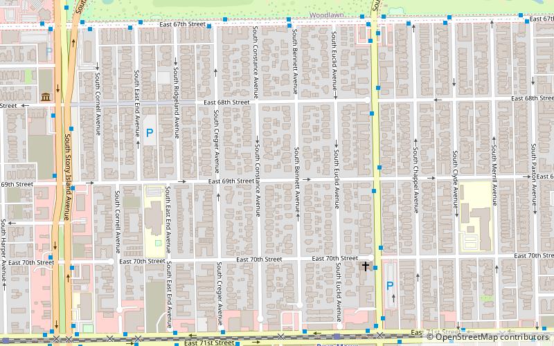
Jackson Park Highlands District, Chicago
Map
Facts and practical information
The Jackson Park Highlands District is a historic district in the South Shore community area of Chicago, Illinois, United States. The district was built in 1905 by various architects. It was designated a Chicago Landmark on October 25, 1989. ()
Coordinates: 41°46'12"N, 87°34'46"W
Address
South Side (South Shore)Chicago
ContactAdd
Social media
Add
Getting there by public transportation
Public transportation stops near this location
- Bus
- Train
 Bus
Bus
- Calculate routeJeffery & 69th Street 5 min walk
- Calculate route67th Street & Bennett 7 min walk
- Calculate routeBryn Mawr 8 min walk
- Calculate routeStony Island 13 min walk
- Calculate routeSouth Shore 20 min walk
- Calculate route63rd Street 23 min walk
Maps Rail "L"
Rail "L"Day trips
Jackson Park Highlands District – popular in the area (distance from the attraction)
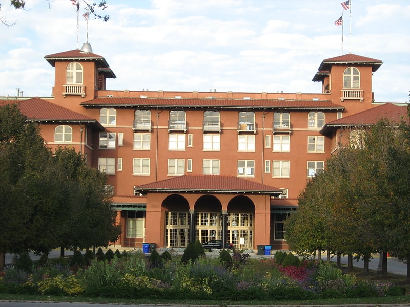
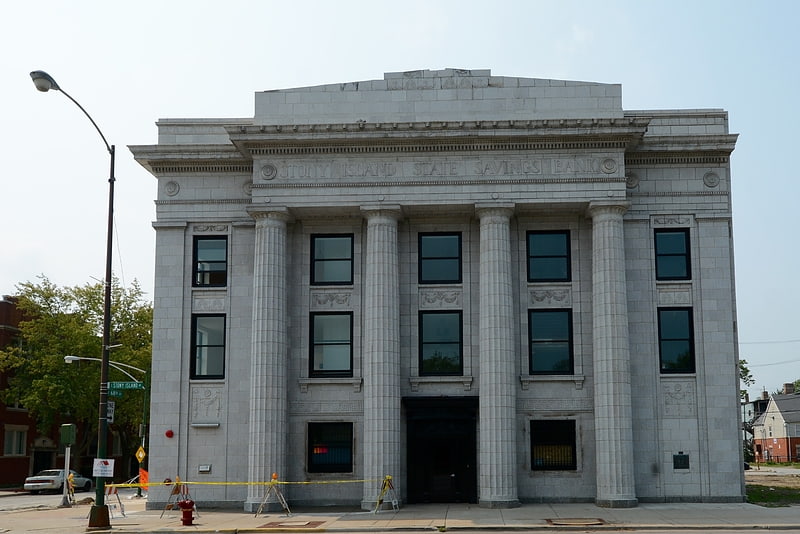
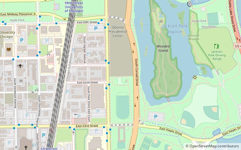
Nearby attractions include: South Shore Cultural Center, Oak Woods Cemetery, Stony Island Arts Bank, Barack Obama Presidential Center.


Frequently Asked Questions (FAQ)
Which popular attractions are close to Jackson Park Highlands District?
Nearby attractions include Jeffery Theater, Chicago (8 min walk), Stony Island Arts Bank, Chicago (10 min walk), Jeffery–Cyril Historic District, Chicago (10 min walk), Shoreline Apartments, Chicago (14 min walk).
How to get to Jackson Park Highlands District by public transport?
The nearest stations to Jackson Park Highlands District:
Bus
Train
Bus
- Jeffery & 69th Street • Lines: 15, (N) N5 (5 min walk)
- 67th Street & Bennett • Lines: 15, 6, 67, (N) N5 (7 min walk)
Train
- Bryn Mawr (8 min walk)
- Stony Island (13 min walk)