Utica Canal Terminal Harbor, Utica
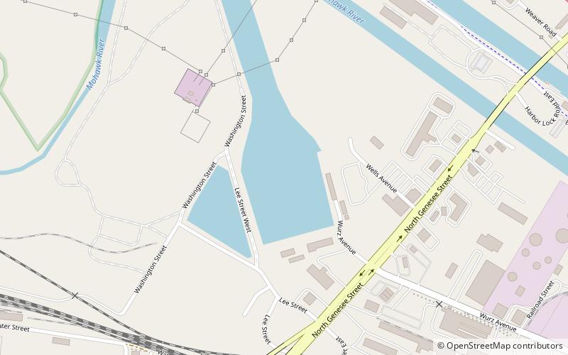
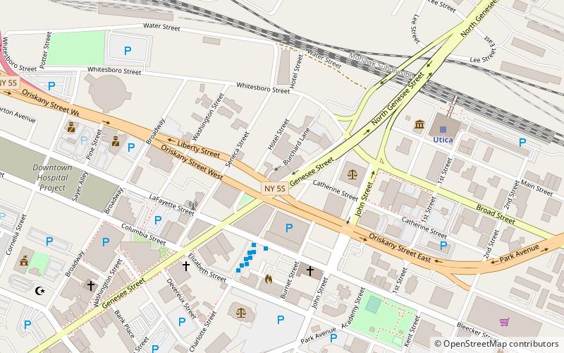
Map

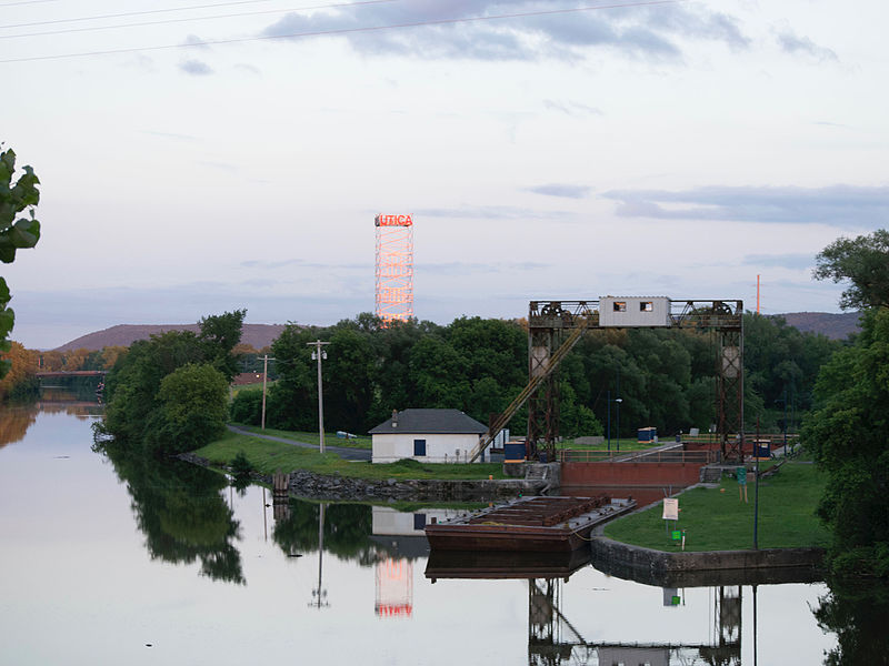
Gallery

Facts and practical information
Utica Canal Terminal Harbor, commonly known as Utica Harbor, is a small man-made harbor in Utica, Oneida County, New York. The harbor was once connected to the Mohawk River and the Erie Canal by the Utica Harbor Lock, which is now permanently closed and used only for flood control. ()
Coordinates: 43°6'35"N, 75°13'25"W
Address
Utica
ContactAdd
Social media
Add
Day trips
Utica Canal Terminal Harbor – popular in the area (distance from the attraction)
Nearby attractions include: Utica Memorial Auditorium, Munson-Williams-Proctor Arts Institute, Stanley Theater, Utica Children's Museum.
Frequently Asked Questions (FAQ)
Which popular attractions are close to Utica Canal Terminal Harbor?
Nearby attractions include Utica Children's Museum, Utica (10 min walk), Lower Genesee Street Historic District, Utica (12 min walk), National Distance Running Hall of Fame, Utica (14 min walk), Grace Church, Utica (18 min walk).
How to get to Utica Canal Terminal Harbor by public transport?
The nearest stations to Utica Canal Terminal Harbor:
Train
Bus
Train
- Utica (10 min walk)
Bus
- Bay 9 • Lines: 124, 129, 22, 224, 229, 24, 28, 29 (16 min walk)
- Bay 8 • Lines: 124, 129, 224, 229, 24, 28, 29 (17 min walk)


