Burleith, Washington D.C.
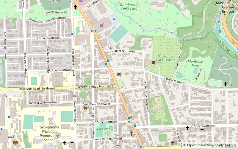
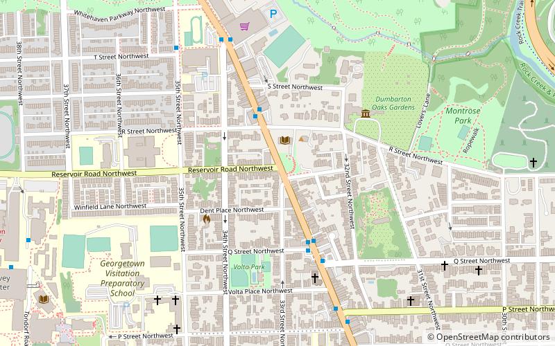
Map
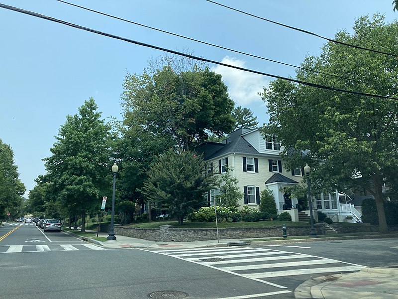
Gallery
Facts and practical information
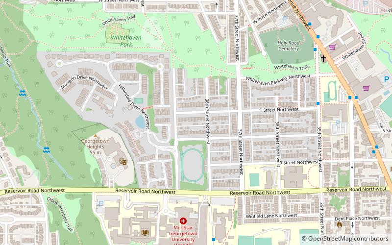
Burleith is a neighborhood in Washington, D.C., United States. It is bordered by 35th Street NW to the east, Reservoir Road NW and the historic Georgetown district to the south, Whitehaven Park to the north, and Glover Archbold Park to the west. The neighborhood is home to the Duke Ellington School of the Arts and the Washington International School. ()
Coordinates: 38°54'54"N, 77°4'29"W
Address
Northwest Washington (Georgetown)Washington D.C.
ContactAdd
Social media
Add
Day trips
Burleith – popular in the area (distance from the attraction)
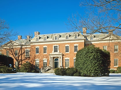
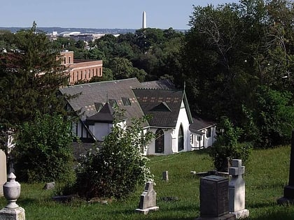
Nearby attractions include: Dumbarton Oaks, Jesuit Community Cemetery, Statue of John Carroll, Dahlgren Chapel of the Sacred Heart.
Frequently Asked Questions (FAQ)
Which popular attractions are close to Burleith?
Nearby attractions include Hillandale, Washington D.C. (6 min walk), Georgetown University Medical Center, Washington D.C. (7 min walk), Duke Ellington School of the Arts, Washington D.C. (7 min walk), Holy Rood Cemetery, Washington D.C. (8 min walk).
How to get to Burleith by public transport?
The nearest stations to Burleith:
Bus
Bus
- Lee Hwy at N Nash St • Lines: 55 (28 min walk)
- 21st St N at N Scott St • Lines: 61A, 61B (32 min walk)

