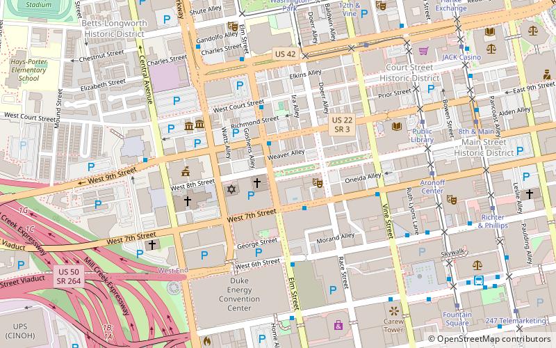
Downtown Cincinnati, Cincinnati


Facts and practical information
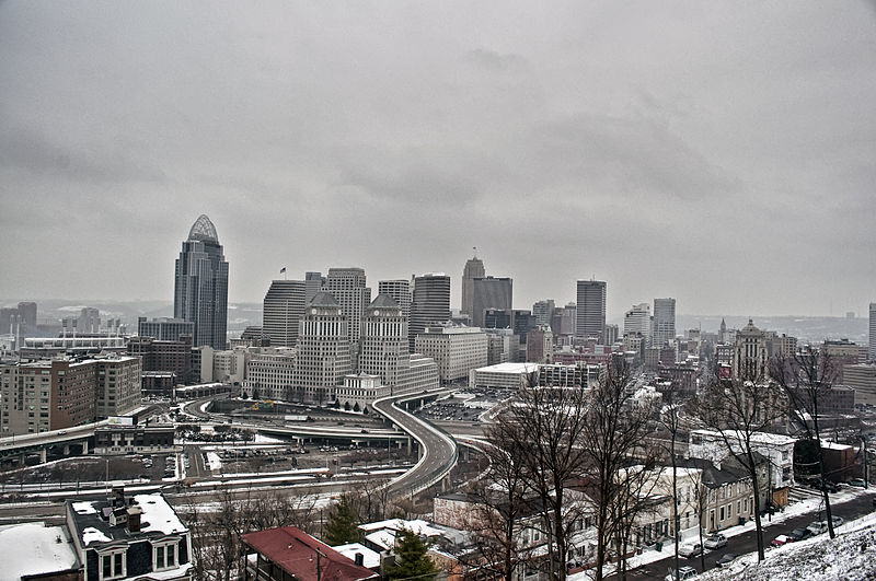
Downtown Cincinnati, the vibrant urban heart of Cincinnati, Ohio, stands as a testament to the city's rich history and its dynamic present. This bustling neighborhood is a blend of historic architecture, modern skyscrapers, and a multitude of cultural, dining, and entertainment options.
The area is known for its architectural gems, such as the art deco Carew Tower which offers panoramic views of the cityscape, and the John A. Roebling Suspension Bridge, a historic landmark that predates the Brooklyn Bridge. Downtown Cincinnati is not just about buildings; it's a hub of cultural activities with the Aronoff Center for the Arts, home to Broadway shows and the Cincinnati Ballet, and the Taft Theatre, which hosts a variety of live performances.
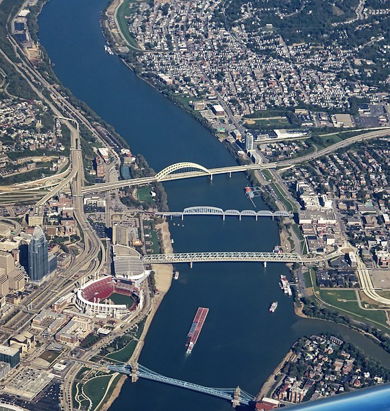
The neighborhood's vitality is also evident in its public spaces, such as Fountain Square, which serves as a social and cultural gathering spot for both locals and visitors. Here, one can enjoy seasonal events, live music, and a vibrant street scene. The nearby Riverfront Park offers a chance to unwind with its walking paths, green spaces, and stunning views of the Ohio River.
For those with a penchant for history, the National Underground Railroad Freedom Center provides a powerful look into America's past, and the Cincinnati Museum Center at Union Terminal, a beloved art deco icon, houses museums and exhibits for all ages.
When it comes to dining, Downtown Cincinnati caters to all tastes, featuring a range of restaurants from upscale eateries to casual cafes. The burgeoning food scene is complemented by a thriving craft brewery culture, with several local establishments offering tours and tastings.
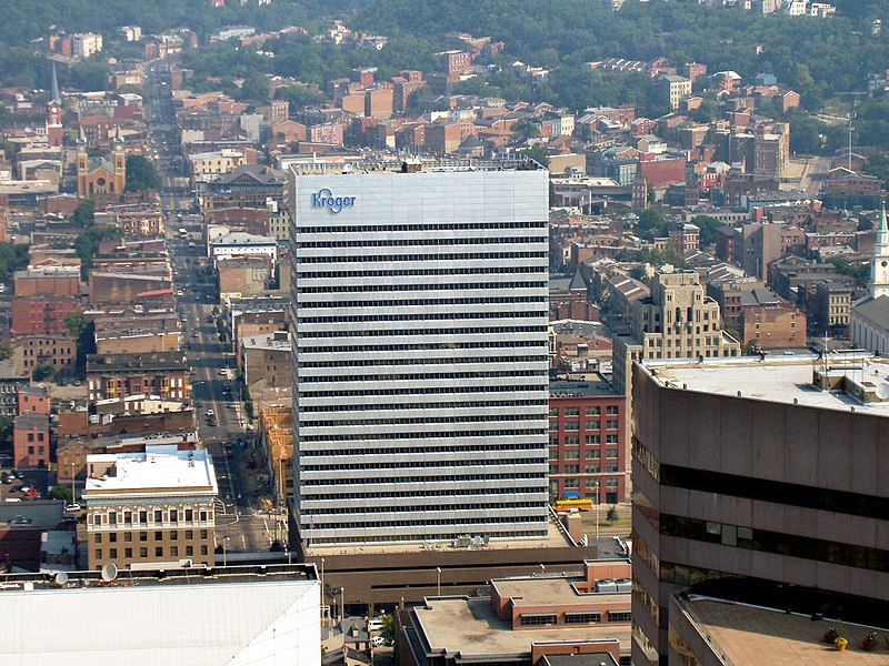
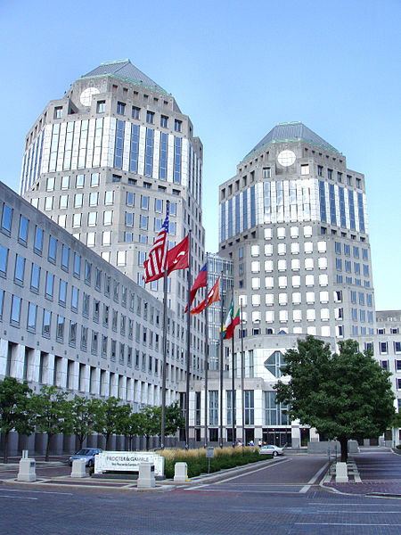
The neighborhood is also an important business district, with numerous companies headquartered in the sleek office towers that dot the skyline. The economic pulse of Downtown Cincinnati, coupled with its residential growth, signifies a neighborhood that is not only a place to work but also a place to live and play.
- Bus
- Tram
- Train
 Bus
Bus
- Calculate route5th Street & Elm Street 2 min walk
- Calculate routeRace @ Third, Cincinnati 5 min walk
- Calculate route5th St & Vine St 5 min walk
- Calculate route5th & Vine 6 min walk
- Calculate routeFountain Square 8 min walk
- Calculate routeAronoff Center 10 min walk
- Calculate route247 Telemarketing 10 min walk
- Calculate routeCincinnati Cyclones 10 min walk
- Calculate routeCincinnati Union Terminal 34 min walk
Downtown Cincinnati – popular in the area (distance from the attraction)
Nearby attractions include: Great American Ball Park, Paul Brown Stadium, Fountain Square, Contemporary Arts Center.


Frequently Asked Questions (FAQ)
Which popular attractions are close to Downtown Cincinnati?
How to get to Downtown Cincinnati by public transport?
Bus
- 5th Street & Elm Street • Lines: 27 (2 min walk)
- Race @ Third, Cincinnati • Lines: 2X (5 min walk)
Tram
- Fountain Square • Lines: 100 (8 min walk)
- Aronoff Center • Lines: 100 (10 min walk)
Train
- Cincinnati Union Terminal (34 min walk)