Skywalk, Cincinnati
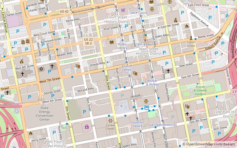
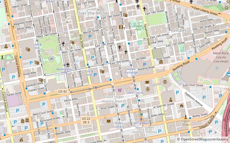
Map
Gallery

Facts and practical information
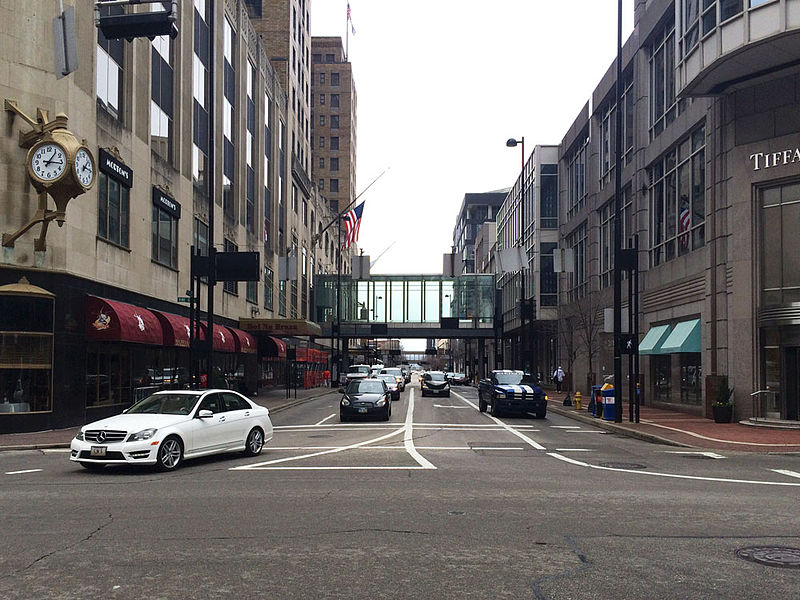
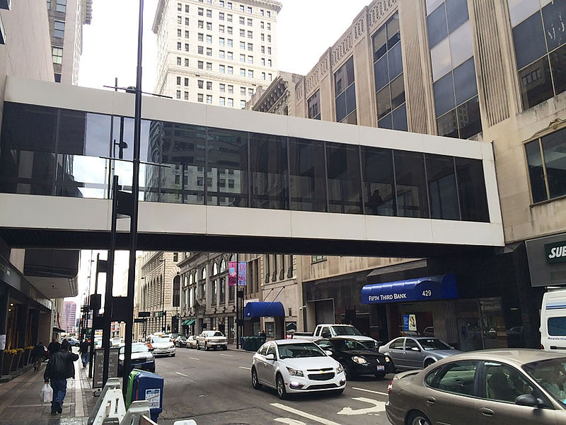
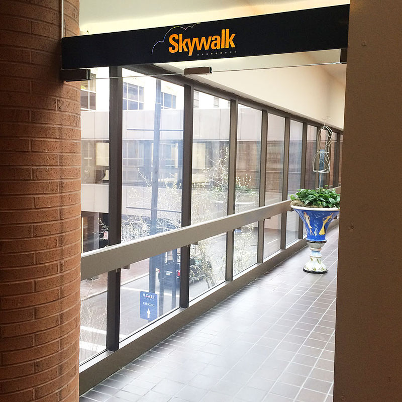
The Cincinnati Skywalk was a series of walkways, primarily indoors and elevated, that allowed pedestrians to traverse downtown Cincinnati, Ohio. ()
Coordinates: 39°6'4"N, 84°30'49"W
Address
Central Business DistrictCincinnati
ContactAdd
Social media
Add
Day trips
Skywalk – popular in the area (distance from the attraction)
Nearby attractions include: Great American Ball Park, Paul Brown Stadium, Heritage Bank Center, Fountain Square.
Frequently Asked Questions (FAQ)
Which popular attractions are close to Skywalk?
Nearby attractions include Tyler Davidson Fountain, Cincinnati (2 min walk), Fourth and Vine Tower, Cincinnati (3 min walk), Fountain Square, Cincinnati (3 min walk), Fifth Third Center, Cincinnati (3 min walk).
How to get to Skywalk by public transport?
The nearest stations to Skywalk:
Bus
Tram
Bus
- 5th St & Vine St • Lines: 32, 50, 6, 78 (1 min walk)
- 5th & Vine • Lines: 32, 50, 6, 78 (1 min walk)
Tram
- Fountain Square • Lines: 100 (4 min walk)
- Aronoff Center • Lines: 100 (6 min walk)


