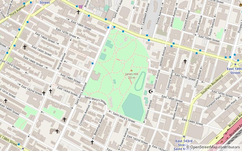
St. Mary's Park, New York City
Map
Facts and practical information
St. Mary's Park is a public park in the Mott Haven neighborhood in the South Bronx section of the Bronx, New York City. The park has sporting facilities and an indoor recreation center. ()
Elevation: 59 ft a.s.l.Coordinates: 40°48'41"N, 73°54'44"W
Address
West Bronx (South Bronx)New York City
ContactAdd
Social media
Add
Getting there by public transportation
Public transportation stops near this location
- Metro
- Bus
- Train
 Metro
Metro
- Calculate routeEast 149th Street & Trinity Aveue 5 min walk
- Calculate routeBergen Avenue & East 149 Street 10 min walk
- Calculate routeWillis Avenue & East 146th Street 11 min walk
- Calculate route3rd Avenue & Willis Avenue 11 min walk
- Calculate routeEast 143rd Street–Saint Mary's Street 8 min walk
- Calculate route3rd Avenue–149th Street 11 min walk
- Calculate routeJackson Avenue 11 min walk
- Calculate routeCypress Avenue 11 min walk
- Calculate routeMelrose 26 min walk
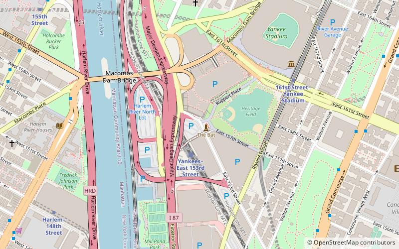
- Calculate routeYankees–East 153rd Street 35 min walk
Maps SubwayMaps
 Manhattan Buses
SubwayMapsManhattan BusesDay trips


Frequently Asked Questions (FAQ)
Which popular attractions are close to St. Mary's Park?
Nearby attractions include Bronx Opera House, New York City (9 min walk), South Bronx, New York City (11 min walk), Church of St. Anselm and St. Roch, New York City (13 min walk), Immaculate Conception of the Blessed Virgin Mary Church, New York City (13 min walk).
How to get to St. Mary's Park by public transport?
The nearest stations to St. Mary's Park:
Bus
Metro
Train
Bus
- East 149th Street & Trinity Aveue • Lines: Bx19 (5 min walk)
- Bergen Avenue & East 149 Street • Lines: Bx4, Bx4A (10 min walk)
Metro
- East 143rd Street–Saint Mary's Street • Lines: 6 (8 min walk)
- 3rd Avenue–149th Street • Lines: 2, 5 (11 min walk)
Train
- Melrose (26 min walk)
- Yankees–East 153rd Street (35 min walk)