Long Beach Green Belt path, Long Beach
Map
Facts and practical information
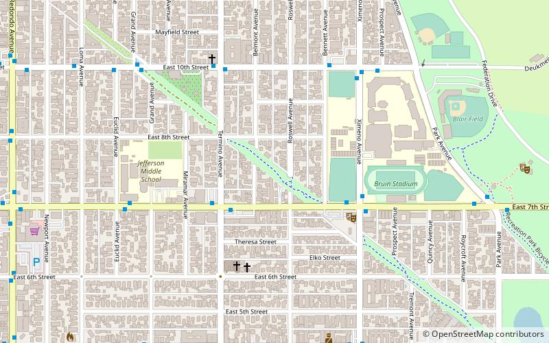
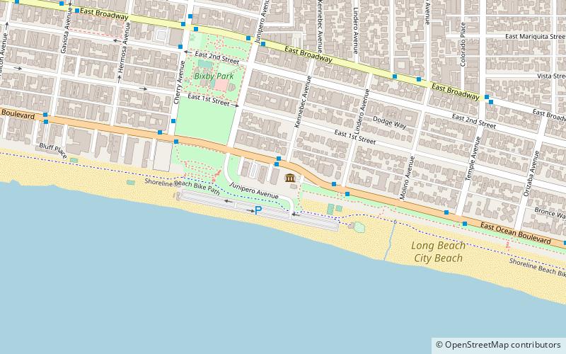
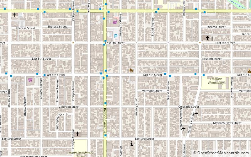
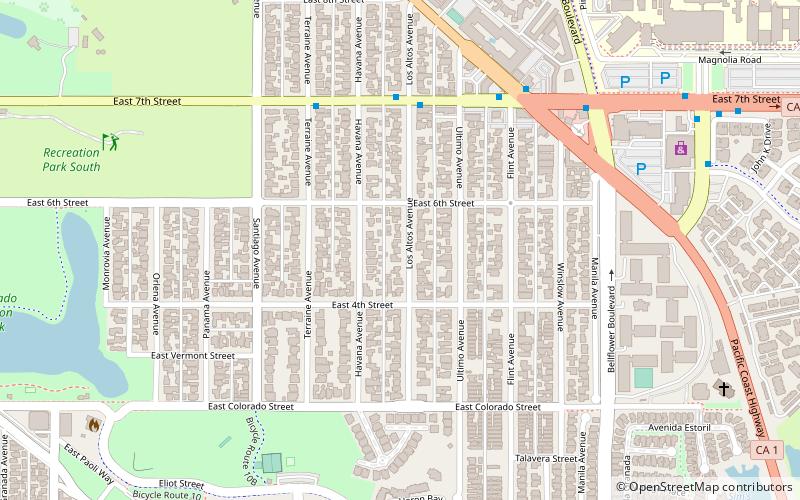
The Long Beach Greenbelt is an open space habitat for California native plants and pathway in Belmont Heights, Long Beach, California. The abandoned railroad right of way was transformed by community activists after it was slated to become a block of self-storage units. ()
Elevation: 30 ft a.s.l.Coordinates: 33°46'35"N, 118°8'39"W
Address
Long Beach (Recreation Park)Long Beach
ContactAdd
Social media
Add
Day trips


Frequently Asked Questions (FAQ)
Which popular attractions are close to Long Beach Green Belt path?
Nearby attractions include Thubten Dhargye Ling, Long Beach (13 min walk), Belmont Heights, Long Beach (14 min walk), Zaferia, Long Beach (17 min walk), Recreation Park, Long Beach (17 min walk).