Alamitos Heights, Long Beach
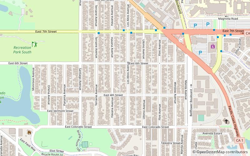
Map
Facts and practical information
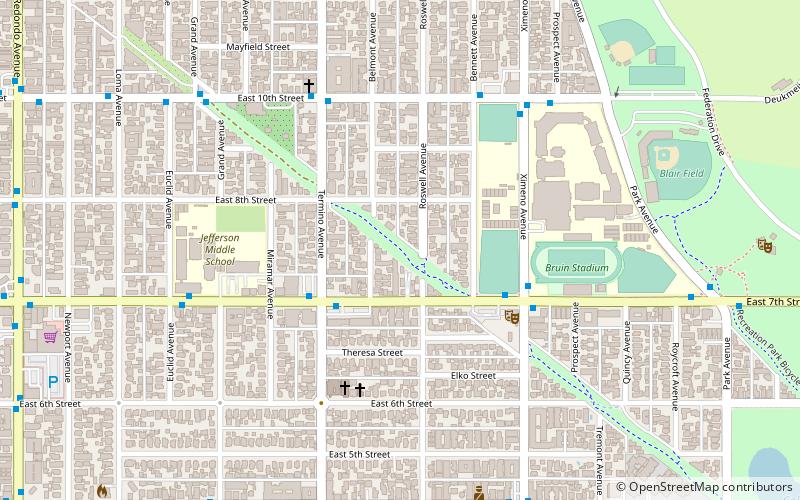
Alamitos Heights is a neighborhood in the south-east portion of the city of Long Beach, California, United States. ()
Coordinates: 33°46'22"N, 118°7'32"W
Address
Long Beach (Alamitos Heights)Long Beach
ContactAdd
Social media
Add
Day trips
Alamitos Heights – popular in the area (distance from the attraction)
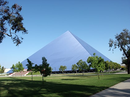
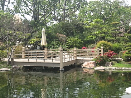
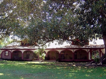
Nearby attractions include: Walter Pyramid, Earl Burns Miller Japanese Garden, Rancho Los Alamitos, Carpenter Performing Arts Center.
Frequently Asked Questions (FAQ)
Which popular attractions are close to Alamitos Heights?
Nearby attractions include Recreation Park, Long Beach (12 min walk), CSULB College of Engineering, Long Beach (19 min walk), Puvunga, Long Beach (23 min walk), Earl Burns Miller Japanese Garden, Long Beach (24 min walk).
