Communipaw, Jersey City
Facts and practical information
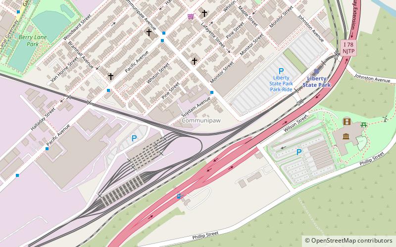
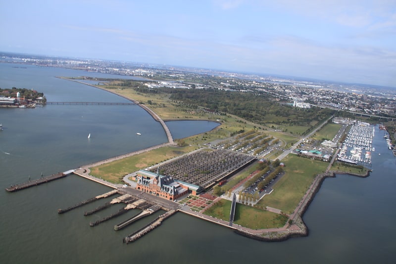
Communipaw is a neighborhood in Jersey City in Hudson County, New Jersey, United States. It is located west of Liberty State Park and east of Bergen Hill, and the site of one of the earliest European settlements in North America. It gives its name to the historic avenue which runs from its eastern end near Liberty State Park Station through the neighborhoods of Bergen-Lafayette and the West Side that then becomes the Lincoln Highway. Communipaw Junction, or simply The Junction, is an intersection where Communipaw, Summit Avenue, Garfield Avenue, and Grand Street meet, and where the toll house for the Bergen Point Plank Road was situated. Communipaw Cove at Upper New York Bay, is part of the 36-acre state nature preserve in the park and one of the few remaining tidal salt marshes in the Hudson River estuary. ()
Liberty State ParkJersey City
- Metro
- Bus
- Light rail
- Ferry
 Metro
Metro
- Calculate routeLiberty State Park 8 min walk
- Calculate routeGarfield Avenue 14 min walk
- Calculate routeJersey Avenue 21 min walk
- Calculate routeLiberty Harbor Marin Boulevard 25 min walk
- Calculate routeWarren Street 29 min walk
- Calculate routeLiberty Harbor 29 min walk
- Calculate routeEllis Island 33 min walk
- Calculate routeJFK Boulevard at Communipaw Avenue 30 min walk
- Calculate routeMarin Boulevard at Thomas Gengemi Drive 41 min walk
- Calculate routeGrove Street 32 min walk


Frequently Asked Questions (FAQ)
Which popular attractions are close to Communipaw?
How to get to Communipaw by public transport?
Light rail
- Liberty State Park • Lines: Hblr (8 min walk)
- Garfield Avenue • Lines: Hblr (14 min walk)
Ferry
- Liberty Harbor Marin Boulevard (25 min walk)
- Warren Street (29 min walk)
Bus
- JFK Boulevard at Communipaw Avenue • Lines: 10, 119 (30 min walk)
- Marin Boulevard at Thomas Gengemi Drive • Lines: 126 (41 min walk)
Metro
- Grove Street • Lines: Jsq–33, JSQ–33 via HOB, Nwk–Wtc (32 min walk)