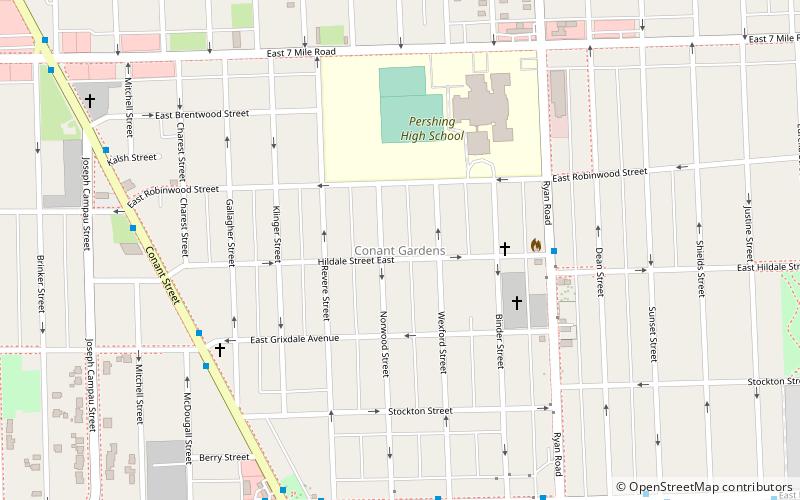
Conant Gardens, Detroit
Map
Facts and practical information
Conant Gardens is a historically Black neighborhood in northeast Detroit, Michigan. The neighborhood was once the most exclusive Black neighborhood in that city, and residents of Conant Gardens comprised the most highly educated Black enclave in Detroit. ()
Coordinates: 42°25'48"N, 83°3'58"W
Address
Conant GardensDetroit
ContactAdd
Social media
Add
Getting there by public transportation
Public transportation stops near this location
- Bus
 Bus
Bus
- Calculate routeConant / Grixdale 7 min walk
- Calculate routeNevada / Wexford 8 min walk
Day trips
Conant Gardens – popular in the area (distance from the attraction)
Nearby attractions include: Medbury's–Grove Lawn Subdivisions Historic District, Highland Heights–Stevens' Subdivision Historic District, Detroit/Hamtramck-Highland Park, First United Methodist Church.


Frequently Asked Questions (FAQ)
How to get to Conant Gardens by public transport?
The nearest stations to Conant Gardens:
Bus
Bus
- Conant / Grixdale • Lines: 12 (7 min walk)
- Nevada / Wexford • Lines: 52 (8 min walk)