Violet Crown Trail, Austin
Map

Map

Facts and practical information
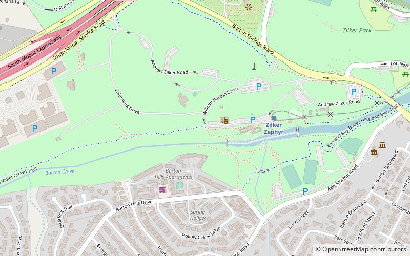
The Violet Crown Trail is a 30-mile pedestrian and cycling trail in Austin, Texas. Established in 2006 by the Hill Country Conservancy, the trail follows Barton Creek from Zilker Park and Mopac Expressway southwestward before finally terminating at the Lady Bird Johnson Wildflower Center. The trail is mostly made of decomposed granite but has various links that are only suitable for hiking. ()
Elevation: 463 ft a.s.l.Coordinates: 30°15'51"N, 97°46'24"W
Address
South Austin (Barton Hills)Austin
ContactAdd
Social media
Add
Day trips
Violet Crown Trail – popular in the area (distance from the attraction)
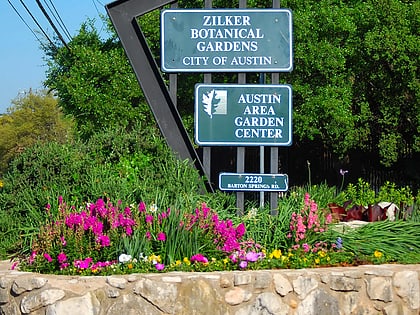
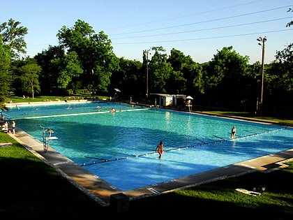
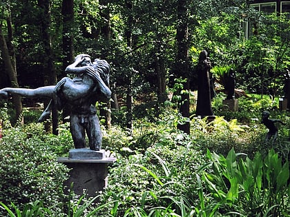
Nearby attractions include: Barton Springs Pool, Zilker Botanical Garden, Deep Eddy Pool, Umlauf Sculpture Garden and Museum.
Frequently Asked Questions (FAQ)
Which popular attractions are close to Violet Crown Trail?
Nearby attractions include Old West Austin Historic District, Austin (6 min walk), West Line Historic District, Austin (6 min walk), Zilker Park, Austin (6 min walk), Zilker Park, Austin (9 min walk).
How to get to Violet Crown Trail by public transport?
The nearest stations to Violet Crown Trail:
Train
Bus
Train
- Zilker Zephyr (5 min walk)
- Austin (27 min walk)
Bus
- 6th/Oakland • Lines: 663 (26 min walk)
- 2500 Lake Austin • Lines: 663 (27 min walk)


