Barton Creek Greenbelt, Austin

Gallery (2)
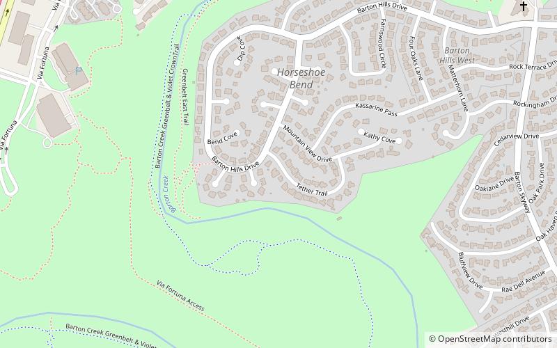
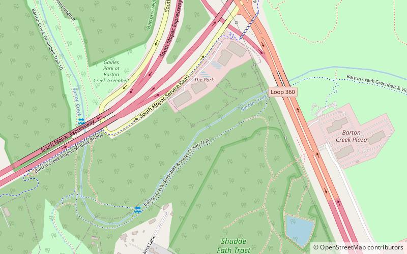
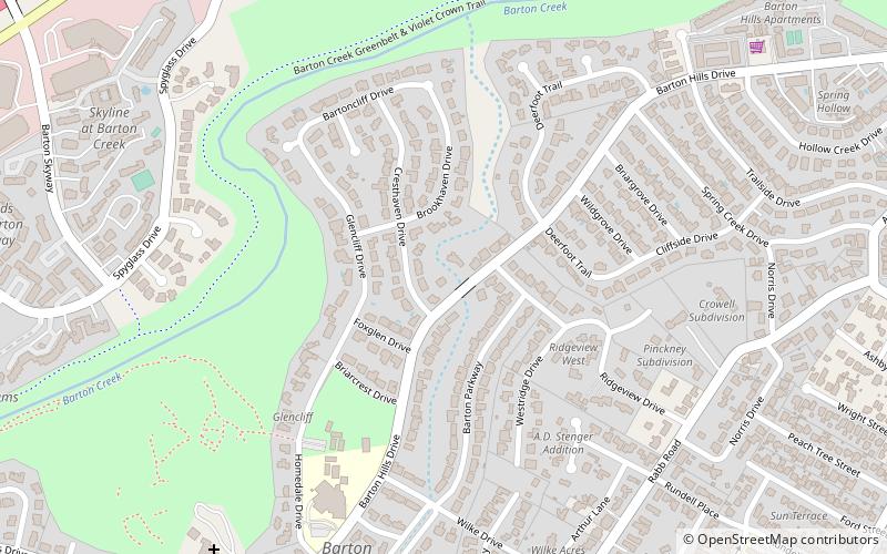
Map
Map
Gallery
Facts and practical information
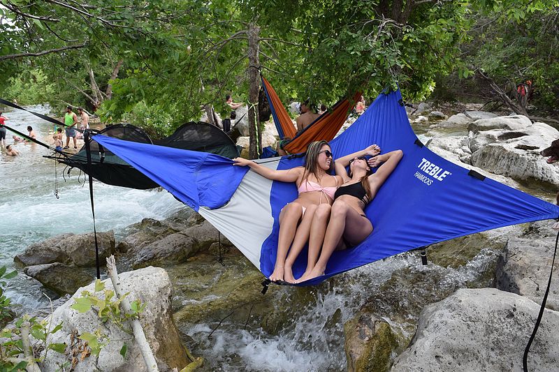
The Barton Creek Greenbelt located in Austin, Texas is managed by the City of Austin's Park and Recreation Department. The Greenbelt is a 7.25-mile stretch of public land that begins at Zilker Park and stretches South/Southwest to the final section commonly referred to as "The Hill of Life" which ends in the Woods of Westlake subdivision. The Barton Creek Greenbelt consists of three areas: the Lower Greenbelt, the Upper Greenbelt, and the Barton Creek Wilderness Park and is characterized by large limestone cliffs, dense foliage, and shallow bodies of water. ()
Coordinates: 30°14'56"N, 97°47'35"W
Address
South Austin (Barton Hills)Austin
ContactAdd
Social media
Add
Getting there by public transportation
Public transportation stops near this location
- Bus
 Bus
Bus
- Calculate route3201 Menchaca/Glen Allen, Stop ID 729 23 min walk
Day trips


Frequently Asked Questions (FAQ)
Which popular attractions are close to Barton Creek Greenbelt?
Nearby attractions include Airmen's Cave, Austin (14 min walk), ART on 5th, Austin (19 min walk), Spyglass-Barton's Bluff, Austin (21 min walk), Andrew M. Cox Ranch Site, Austin (22 min walk).
How to get to Barton Creek Greenbelt by public transport?
The nearest stations to Barton Creek Greenbelt:
Bus
Bus
- 3201 Menchaca/Glen Allen, Stop ID 729 • Lines: 3 (23 min walk)