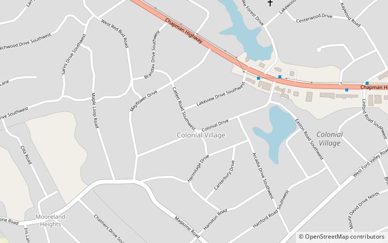
Colonial Village, Knoxville

Map
Facts and practical information
Colonial Village is a neighborhood in Knoxville, Tennessee. Located in the South Knoxville area, it was registered in the city deed books in 1940. The village was developed after World War II and into the 1950s. ()
Coordinates: 35°55'12"N, 83°52'59"W
Address
Colonial VillageKnoxville
ContactAdd
Social media
Add
Day trips
Colonial Village – popular in the area (distance from the attraction)
Nearby attractions include: Neyland Stadium, Thompson–Boling Arena, Volunteer Landing, Blount Mansion.
Frequently Asked Questions (FAQ)
How to get to Colonial Village by public transport?
The nearest stations to Colonial Village:
Bus
Bus
- Chapman Hwy SB @ Colonial Dr • Lines: 41 (5 min walk)


