Kule Loklo, Point Reyes National Seashore
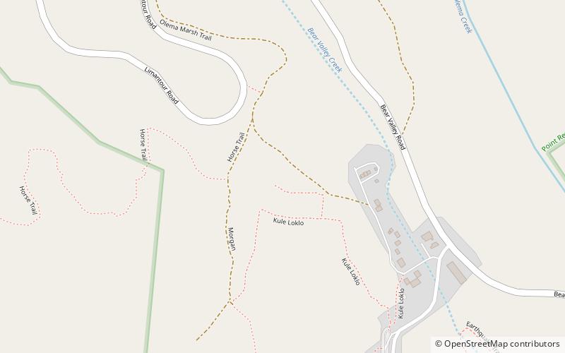
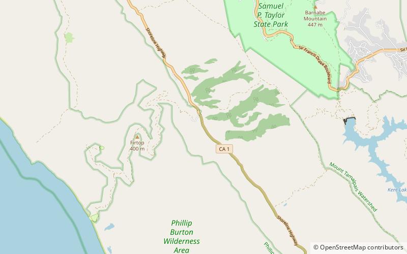
Map

Gallery

Facts and practical information
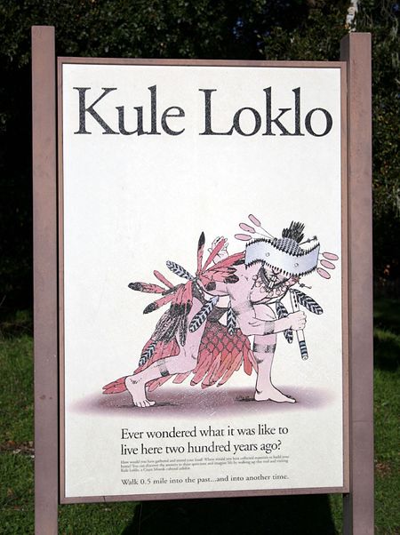
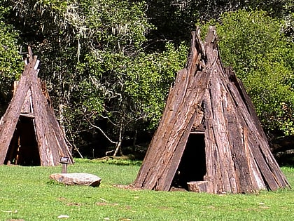
Kule Loklo is a recreated Coast Miwok Native American village located a short walk from the visitor center of the Point Reyes National Seashore, in Marin County, California. Kule Loklo was originally created in the 1970s by the Miwok Archeological Preserve of Marin as a tribute to Marin County's indigenous people, the Coast Miwoks. ()
Coordinates: 38°2'44"N, 122°48'11"W
Day trips
Kule Loklo – popular in the area (distance from the attraction)
Nearby attractions include: Olema Valley, Samuel P. Taylor State Park, Tomales Bay State Park.
Frequently Asked Questions (FAQ)
How to get to Kule Loklo by public transport?
The nearest stations to Kule Loklo:
Bus
Bus
- Bear Valley Visitor Center • Lines: 68 (9 min walk)
- Olema Campground • Lines: 68 (19 min walk)


