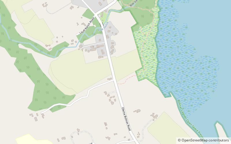
Olema Valley, Point Reyes National Seashore
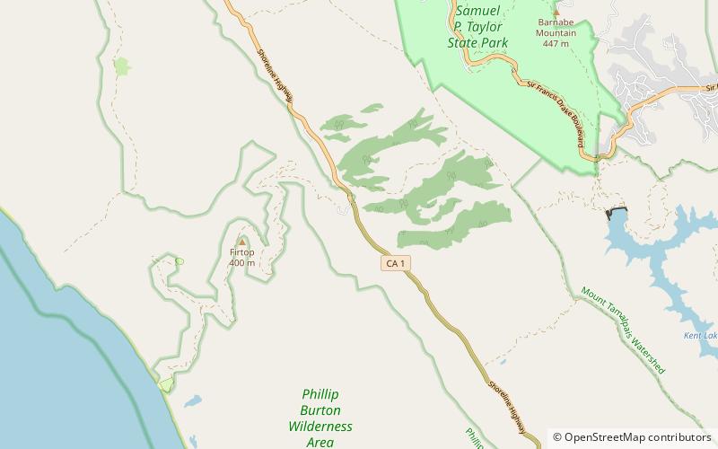
Map
Facts and practical information
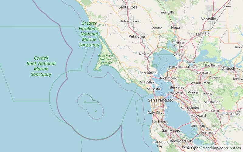
Olema Valley is a gorge formed by the San Andreas Fault in rural west Marin County, Northern California. The valley runs from the southern end of Tomales Bay through Point Reyes Station, the town of Olema, and Dogtown, to the Bolinas Lagoon, which lies between Bolinas and Stinson Beach. It is part of the Golden Gate National Recreation Area. ()
Coordinates: 37°59'41"N, 122°45'14"W
Address
Point Reyes National Seashore
ContactAdd
Social media
Add
Day trips
Olema Valley – popular in the area (distance from the attraction)
Nearby attractions include: Kule Loklo, Alamere Falls, Pelican Lake, Bass Lake.
