Linden Heights Historic District, Des Moines
Map

Map

Facts and practical information
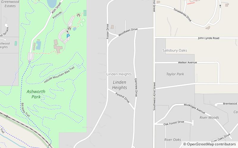
The Linden Heights Historic District is located on the west side Des Moines, Iowa, United States. The district exemplifies the residential styles that were popular in Des Moines from 1912 to 1956. It was also significant in the development of the western part of the city south of Grand Avenue, which is a major east–west thoroughfare. It has been listed on the National Register of Historic Places since 2003. ()
Coordinates: 41°34'31"N, 93°40'37"W
Address
Linden HeightsDes Moines
ContactAdd
Social media
Add
Day trips
Linden Heights Historic District – popular in the area (distance from the attraction)
Nearby attractions include: Des Moines Art Center, Salisbury House, Water Works Park, Plymouth Place.
Frequently Asked Questions (FAQ)
Which popular attractions are close to Linden Heights Historic District?
Nearby attractions include Salisbury House, Des Moines (11 min walk), Sylvan Theater Historic District, Des Moines (11 min walk), Byron and Ivan Boyd House, Des Moines (11 min walk), Des Moines Art Center, Des Moines (17 min walk).
How to get to Linden Heights Historic District by public transport?
The nearest stations to Linden Heights Historic District:
Bus
Bus
- Ingersoll Ave / 41st St • Lines: 60 (20 min walk)
- 42nd St & Harwood Dr • Lines: 60 (22 min walk)


