College of Visual Arts, Saint Paul
Map

Map

Facts and practical information
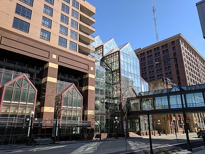
The College of Visual Arts in Saint Paul, Minnesota, United States, was a private, accredited, four-year college of art and design offering a Bachelor of Fine Arts degree in fine arts, graphic design, illustration, and photography. The fine arts degree offered concentrations in drawing, painting, printmaking, and sculpture. ()
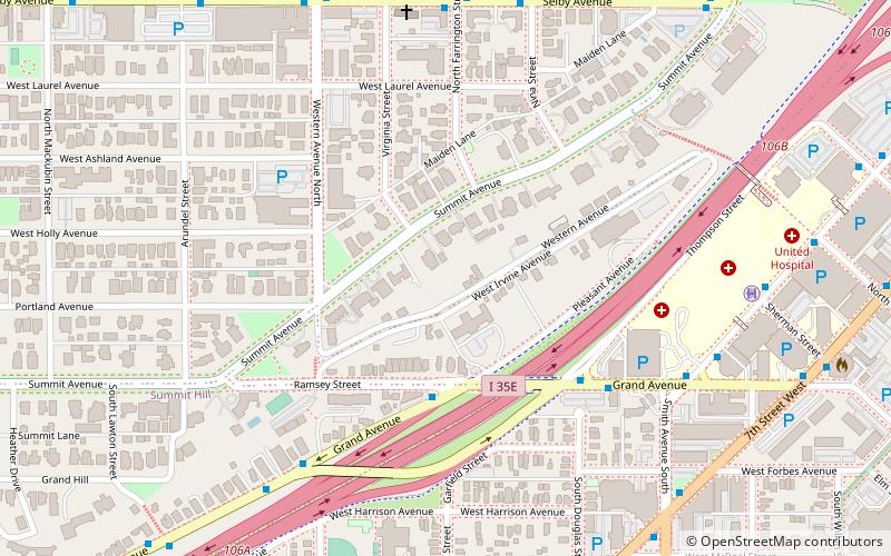
Coordinates: 44°56'34"N, 93°6'49"W
Day trips
College of Visual Arts – popular in the area (distance from the attraction)
Nearby attractions include: James J. Hill House, Xcel Energy Center, Cray Plaza, Cathedral of Saint Paul.
Frequently Asked Questions (FAQ)
Which popular attractions are close to College of Visual Arts?
Nearby attractions include Burbank–Livingston–Griggs House, Saint Paul (7 min walk), James J. Hill House, Saint Paul (8 min walk), Cathedral of Saint Paul, Saint Paul (10 min walk), Justus Ramsey Stone House, Saint Paul (12 min walk).
How to get to College of Visual Arts by public transport?
The nearest stations to College of Visual Arts:
Bus
Light rail
Bus
- Ramp Entrance • Lines: 351, 351H (15 min walk)
- 5th Street & 7th Street • Lines: 351, 351H, 353, 363, 94D, 94F (17 min walk)
Light rail
- Western Avenue • Lines: 902 (24 min walk)
- 10th Street • Lines: 902 (25 min walk)


