High-water mark of the Confederacy, Gettysburg
Map

Gallery

Facts and practical information
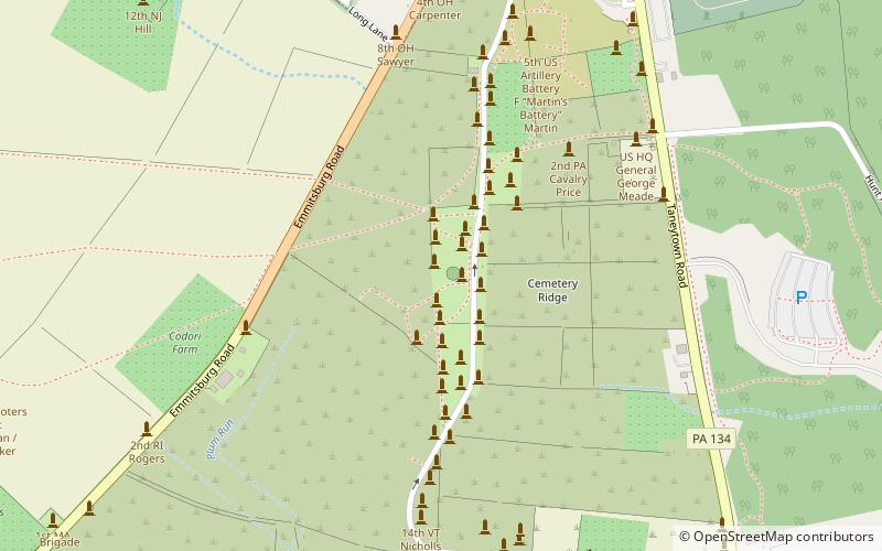
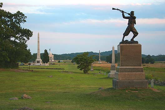
The high-water mark of the Confederacy or high tide of the Confederacy refers to an area on Cemetery Ridge near Gettysburg, Pennsylvania, marking the farthest point reached by Confederate forces during Pickett's Charge on July 3, 1863. Similar to a high water mark of water, the term is a reference to arguably the Confederate Army's best chance of achieving victory in the war. The line of advance was east of "The Angle" stone wall. ()
Coordinates: 39°48'45"N, 77°14'10"W
Address
Gettysburg
ContactAdd
Social media
Add
Day trips
High-water mark of the Confederacy – popular in the area (distance from the attraction)
Nearby attractions include: Pennsylvania State Memorial, 72nd Pennsylvania Infantry Monument, Gettysburg National Cemetery, Evergreen Cemetery.
Frequently Asked Questions (FAQ)
Which popular attractions are close to High-water mark of the Confederacy?
Nearby attractions include High Water Mark of the Rebellion Monument, Gettysburg (1 min walk), 72nd Pennsylvania Infantry Monument, Gettysburg (1 min walk), The Angle, Gettysburg (2 min walk), Brian Farm, Gettysburg (6 min walk).


