Lake–Evesham Historic District, Baltimore
Map

Map

Facts and practical information
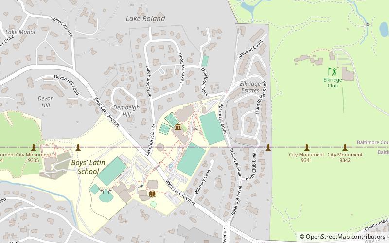
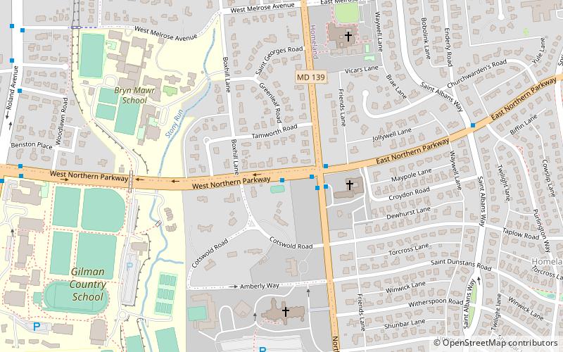
Lake–Evesham Historic District is a national historic district in Baltimore, Maryland, United States. It incorporates 260 buildings representing its development over the period 1870–1946. The majority of buildings in the district are bungalows and houses in various revival styles built in the 1920s and 1930s, when Lake Evesham was actively developed as a residential suburb. ()
Coordinates: 39°22'6"N, 76°36'49"W
Address
Northern Baltimore (Cedarcroft)Baltimore
ContactAdd
Social media
Add
Day trips
Lake–Evesham Historic District – popular in the area (distance from the attraction)
Nearby attractions include: Boys' Latin School of Maryland, Senator Theatre, Cathedral of Mary Our Queen, Villa Anneslie.
Frequently Asked Questions (FAQ)
Which popular attractions are close to Lake–Evesham Historic District?
Nearby attractions include Cedarcroft, Baltimore (4 min walk), Hochschild, Baltimore (7 min walk), Senator Theatre, Baltimore (10 min walk), Govans, Baltimore (12 min walk).
How to get to Lake–Evesham Historic District by public transport?
The nearest stations to Lake–Evesham Historic District:
Bus
Bus
- York Road & Lake Avenue Southbound • Lines: 52, Rd (6 min walk)
- Bellona Avenue & Melrose Avenue Southbound • Lines: 51 (6 min walk)


