Maisland, North Bergen
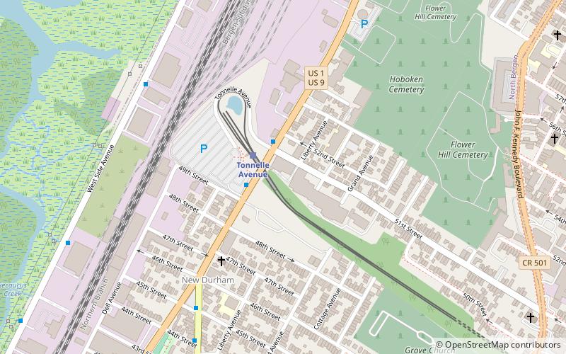
Map
Facts and practical information
Maisland, or Mais Land, was an area in Hudson County, New Jersey. ()
Coordinates: 40°47'14"N, 74°1'50"W
Address
Transfer StationNorth Bergen
ContactAdd
Social media
Add
Day trips
Maisland – popular in the area (distance from the attraction)
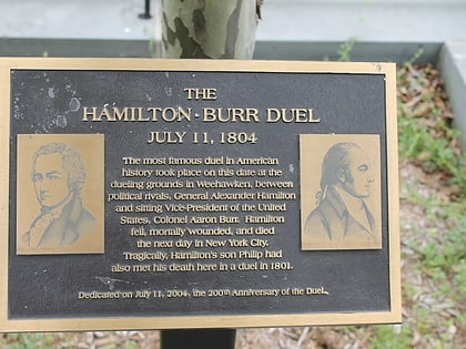
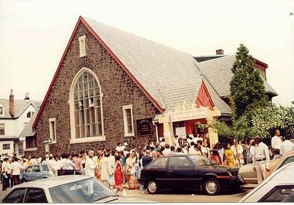
Nearby attractions include: Burr–Hamilton duel, The Mall at Mill Creek, Port Imperial, Shri Swaminarayan Mandir.
Frequently Asked Questions (FAQ)
Which popular attractions are close to Maisland?
Nearby attractions include New Durham, North Bergen (6 min walk), Flower Hill Cemetery, North Bergen (8 min walk), Hoboken Cemetery, Jersey City (8 min walk), Machpelah Cemetery, West New York (8 min walk).
How to get to Maisland by public transport?
The nearest stations to Maisland:
Light rail
Bus
Light rail
- Tonnelle Avenue • Lines: Hblr (2 min walk)
- Bergenline Avenue • Lines: Hblr (15 min walk)
Bus
- JFK Boulevard at 48th Street • Lines: 88 (13 min walk)
- Bergenline at 47th Street • Lines: 22 (16 min walk)
