West Hills, Baltimore

Map
Facts and practical information
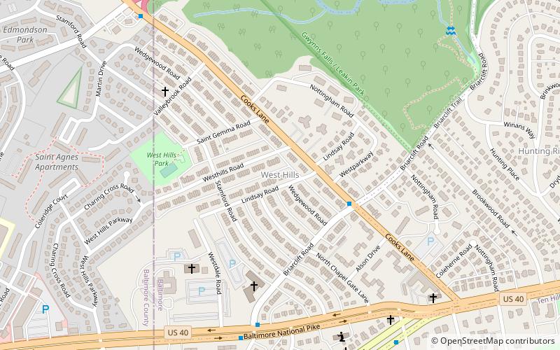
West Hills is a neighborhood in the Southwest District of Baltimore, located between the neighborhoods of Westgate, Franklintown and Hunting Ridge. Its boundaries are drawn by the Baltimore County line, Baltimore National Pike and North Franklintown Road. Its eastern boundary follows Cooks Lane from Baltimore National Pike, then Briarclift Road and finally Wynans Way to the intersection with N. Franklintown Road. ()
Coordinates: 39°17'44"N, 76°42'26"W
Address
Southwestern Baltimore (West Hills)Baltimore
ContactAdd
Social media
Add
Day trips
West Hills – popular in the area (distance from the attraction)
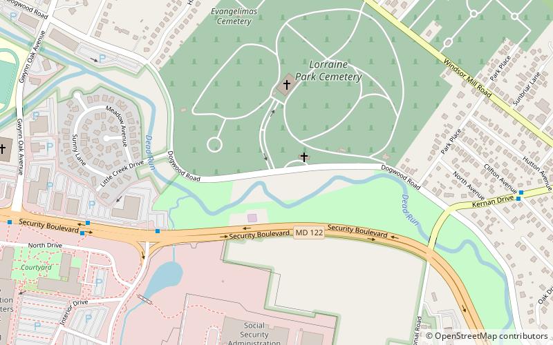
Nearby attractions include: Gwynns Falls Leakin Park, Franklintown Historic District, Lorraine Park Cemetery, Carrie Murray Nature Center.
Frequently Asked Questions (FAQ)
How to get to West Hills by public transport?
The nearest stations to West Hills:
Bus
Bus
- Edmonson & Shawan • Lines: 78 (20 min walk)


