Totem Lake, Kirkland
Map

Map

Facts and practical information
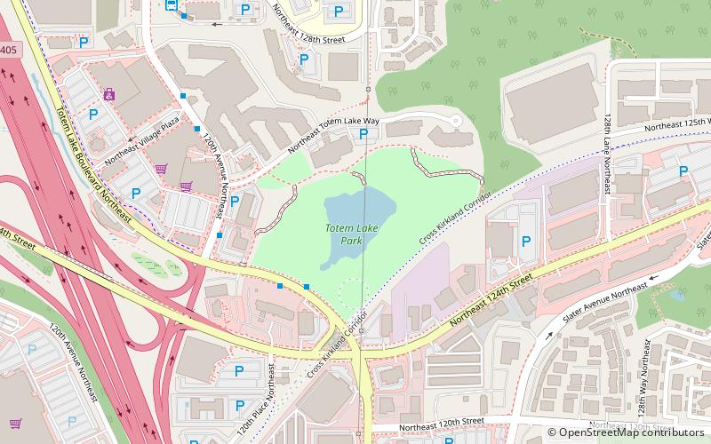
Totem Lake is a 2-acre lake in Kirkland, Washington, at the head of a branch of Juanita Creek, inside the Juanita Creek Basin. A Kirkland neighborhood and retail/residential development are named for the lake. A 17.2-acre park completely surrounds the lake, bordered by the Cross Kirkland Corridor linear park and trail. The lake has had other names including Lake Wittenmyer, Lake Watstine, Mudd Lake, and an original Native American name which has been lost. ()
Elevation: 131 ft a.s.l.Coordinates: 47°42'40"N, 122°10'34"W
Address
Totem LakeKirkland
ContactAdd
Social media
Add
Day trips
Totem Lake – popular in the area (distance from the attraction)
Nearby attractions include: The Village at Totem Lake, Sammamish River Trail, Chateau Ste. Michelle, Kirkland Performance Center.
Frequently Asked Questions (FAQ)
How to get to Totem Lake by public transport?
The nearest stations to Totem Lake:
Bus
Bus
- Totem Lake Blvd & NE 124th St • Lines: 225, 239, 277 (3 min walk)
- 120th Ave NE & Totem Lake Way • Lines: 225, 239, 277 (6 min walk)


